Loading...
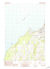
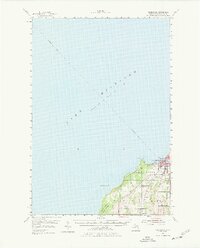
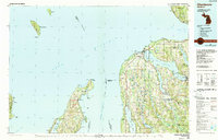
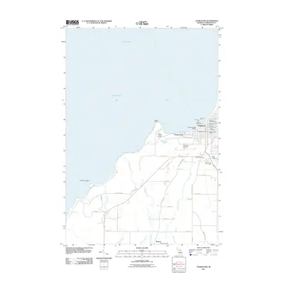
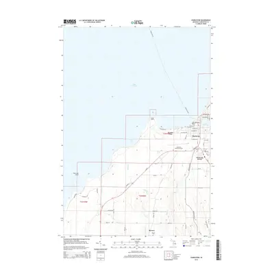
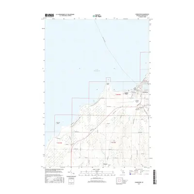
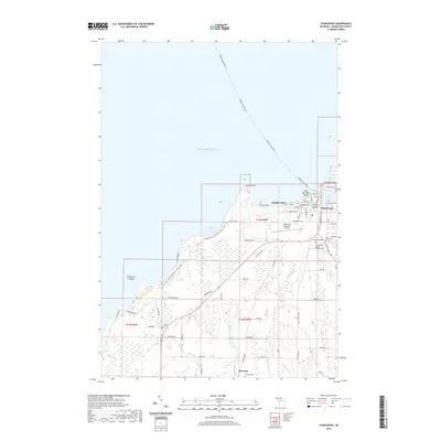
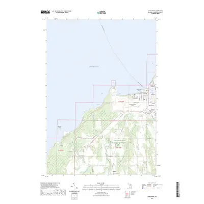
Loading map...1983 Map of Charlevoix
USGS Topo · Published 1984About this map
Charlevoix serves as the focal point of this coastal landscape, situated where Round Lake meets the expansive waters of Lake Michigan. The town's maritime character is evident in the Breakwater and Serwall protecting the channel, while the local infrastructure includes a Municipal Airport and Townhall. Beyond the immediate harbor, the shoreline transitions to the natural reaches of Fishermans Island State Park, which encompasses Fisherman Island just offshore.
Find a feature on this map
37 named features on this map. Tap any name to fly to it.
Don’t see what you’re looking for? This feature index may not catch every label — zoom into the map to look around manually.
Map Details
Date Portrayed1983
Date Published1984
PublisherU.S. Geological Survey
Map TypeTopographic
Scale1:25,000
Physical Dimensions19.7 x 26.9 inches
Editions of this 1983 Charlevoix Map
This is the sole edition of this map. No revisions or reprints were ever made.
Historical Maps of Charlevoix Through Time
8 maps found
Featured Locations
- Norwood Township, MI
- Charlevoix, MI
- Marion Township, MI
- Barnard, Marion Township
- Boulder Park, Charlevoix Township
Source Details
SourceU.S. Geological Survey
CopyrightPublic Domain