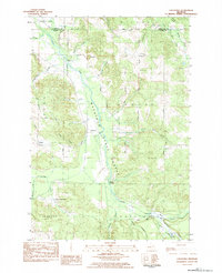
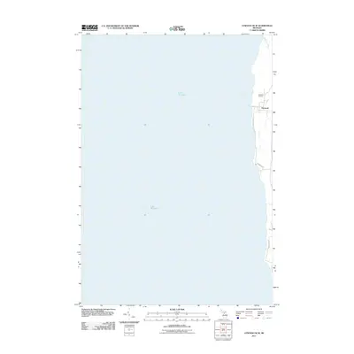
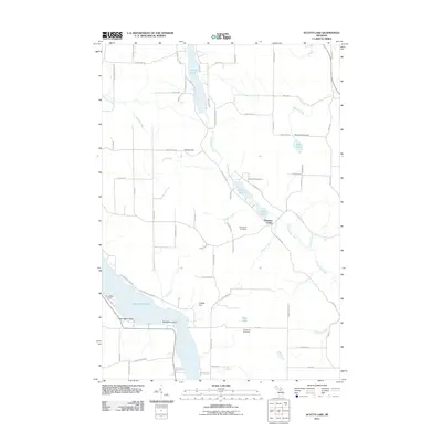
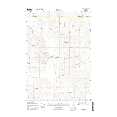
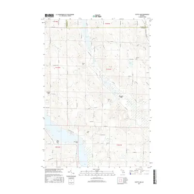
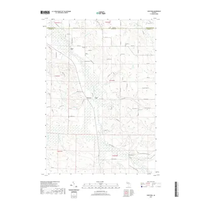
1983 Map of Atwood
USGS Topo · Published 1984About this map
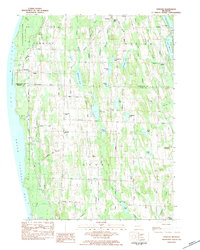
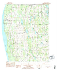
Lake Michigan dominates the western edge of this coastal survey, where the shoreline of Grand Traverse Bay meets the northern reaches of Antrim County. The settlement of Norwood serves as a focal point near the coast, while the inland village of Atwood is situated along Atwood Road. The landscape is defined by a dense cluster of small inland water bodies, including Little Torch Lake, Mud Lake, and Cunningham Lake, which speak to the glacial topography of the region.
Find a feature on this map
55 named features on this map. Tap any name to fly to it.
Don’t see what you’re looking for? This feature index may not catch every label — zoom into the map to look around manually.
Map Details
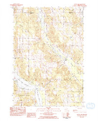
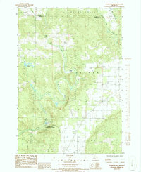
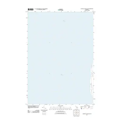
Editions of this 1983 Atwood Map
2 editions found
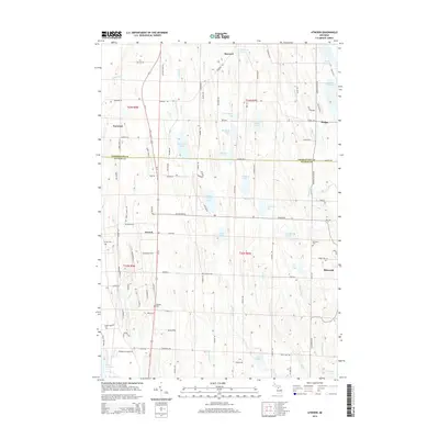
Historical Maps of Ellsworth Through Time
36 maps found
1975 Mancelona NE
Antrim County, MI
1975 Mancelona NW
Antrim County, MI
1983 Atwood
Antrim County, MI
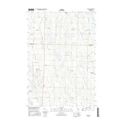
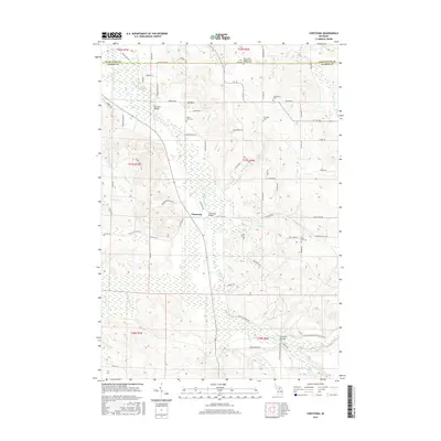
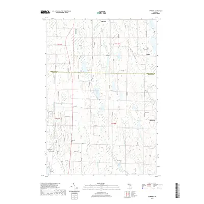
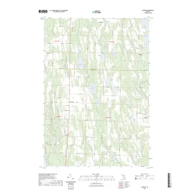
1983 Chestonia
Antrim County, MI
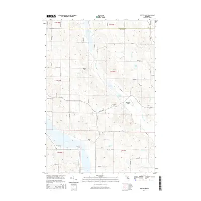
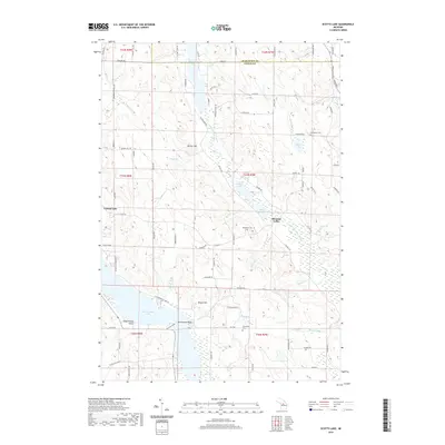
1983 Scotts Lake
Antrim County, MI
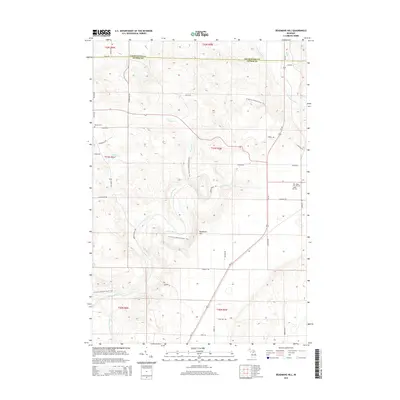
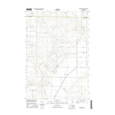
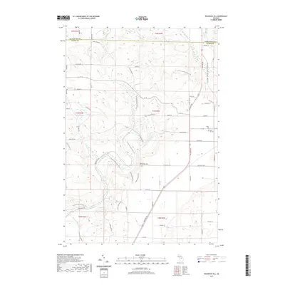
1986 Deadmans Hill
Antrim County, MI
2011 Atwood
Antrim County, MI
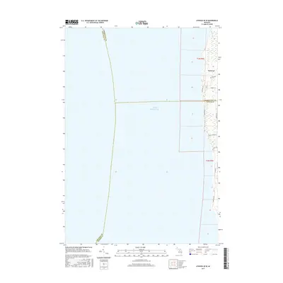
2011 Atwood OE W
Antrim County, MI
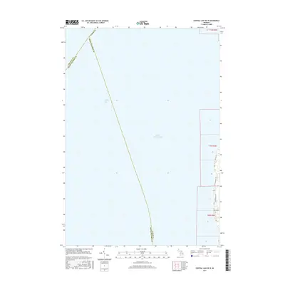
2011 Central Lake OE W
Antrim County, MI
2011 Chestonia
Antrim County, MI
2011 Deadmans Hill
Antrim County, MI
2011 Scotts Lake
Antrim County, MI
2014 Atwood
Antrim County, MI
2014 Atwood OE W
Antrim County, MI
2014 Central Lake OE W
Antrim County, MI
2014 Chestonia
Antrim County, MI
2014 Deadmans Hill
Antrim County, MI
2014 Scotts Lake
Antrim County, MI
2017 Atwood
Antrim County, MI
2017 Atwood OE W
Antrim County, MI
2017 Central Lake OE W
Antrim County, MI
2017 Chestonia
Antrim County, MI
2017 Deadmans Hill
Antrim County, MI
2017 Scotts Lake
Antrim County, MI
2019 Atwood
Antrim County, MI
2019 Atwood OE W
Antrim County, MI
2019 Central Lake OE W
Antrim County, MI
2019 Chestonia
Antrim County, MI
2019 Deadmans Hill
Antrim County, MI
2019 Scotts Lake
Antrim County, MI
2023 Atwood
Antrim County, MI
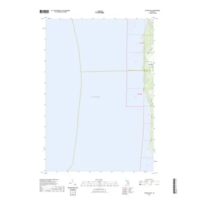
2023 Atwood OE W
Antrim County, MI
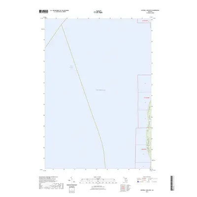
2023 Central Lake OE W
Antrim County, MI

2023 Chestonia
Antrim County, MI
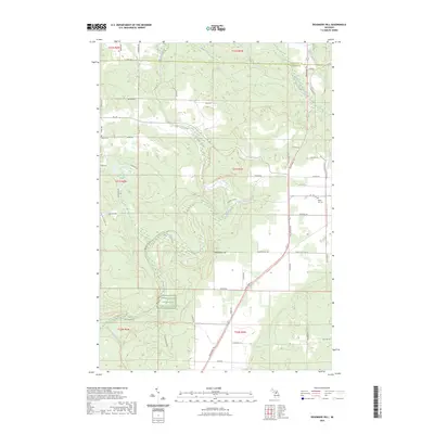
2023 Deadmans Hill
Antrim County, MI
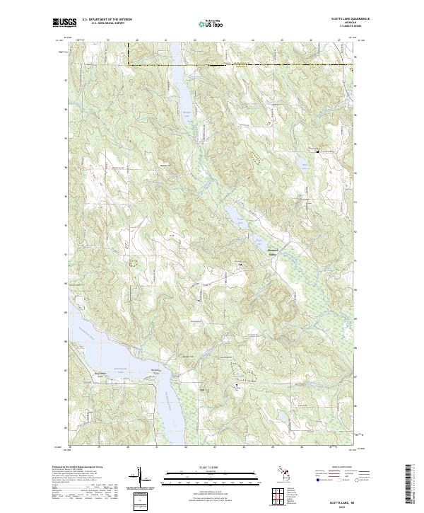
2023 Scotts Lake
Antrim County, MI
Featured Locations
- Norwood Township, MI
- Marion Township, MI
- Banks Township, MI
- Phelps, Marion Township
- Ellsworth, Banks Township