Loading...
Loading map...1983 Map of Central Lake
USGS Topo · Published 1984About this map
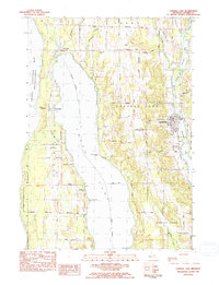
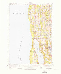
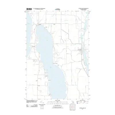
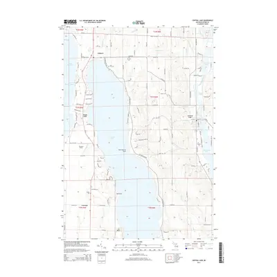
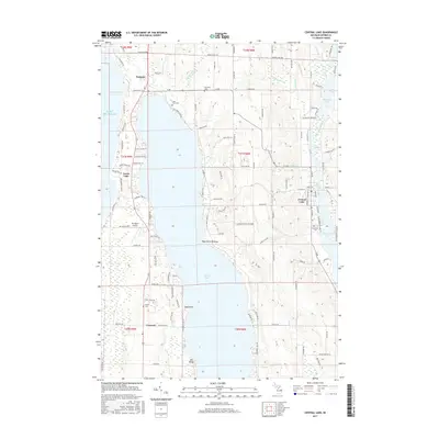
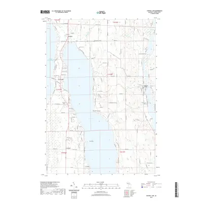
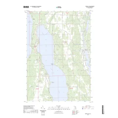
Torch Lake dominates the center of this landscape, its expansive waters separated from Grand Traverse Bay by a narrow strip of land. Along this western peninsula, Eastport and the Torchport Landing Strip appear as key navigation points, while Barnes County Park provides a public corridor to the bay's shoreline. The terrain rises to the east toward Meggison Hill and Bennett Hill, overlooking the village of Central Lake which sits at the northern tip of Intermediate Lake.
Find a feature on this map
66 named features on this map. Tap any name to fly to it.
Don’t see what you’re looking for? This feature index may not catch every label — zoom into the map to look around manually.
Map Details
Date Portrayed1983
Date Published1984
PublisherU.S. Geological Survey
Map TypeTopographic
Scale1:25,000
Physical Dimensions20.7 x 27 inches
Editions of this 1983 Central Lake Map
This is the sole edition of this map. No revisions or reprints were ever made.
Historical Maps of Torch Lake Through Time
7 maps found
Featured Locations
- Central Lake Township, MI
- Forest Home Township, MI
- Central Lake, Central Lake Township
- Creswell, Torch Lake Township
- Torch Lake, Torch Lake Township
Source Details
SourceU.S. Geological Survey
CopyrightPublic Domain