
1975 Map of Boyne City NW
USGS Topo · Published 1976About this map
South Arm Lake Charlevoix dominates this 1975 aerial perspective, slicing through the glacially-carved landscape of northern Michigan. This orthophotoquad captures the dual hubs of East Jordan at the southern tip of the lake and Ellsworth to the west, providing a clear record of the region’s development during the mid-1970s. The imagery reveals the intricate pattern of woodlots and agricultural fields that define the transition from the waterfront settlements to the interior uplands. For those researching local property history or environmental changes in Charlevoix County, the map offers a precise view of the road networks and shoreline as they existed decades ago, showing the specific layout of residential blocks and rural homesteads.
Find a feature on this map
3 named features on this map. Tap any name to fly to it.
Don’t see what you’re looking for? This feature index may not catch every label — zoom into the map to look around manually.
Map Details
Editions of this 1975 Boyne City NW Map
This is the sole edition of this map. No revisions or reprints were ever made.
Other maps of this area

1954 · Central Lake
USGS Topo · 1:62,500

1954 · Charlevoix
USGS Topo · 1:62,500

1955 · Cheboygan
USGS Topo · 1:250,000

1958 · Cheboygan
USGS Topo · 1:250,000

1958 · Bayshore
USGS Topo · 1:62,500

1961 · Boyne City
USGS Topo · 1:62,500

1975 · Boyne City NE
USGS Topo · 1:24,000
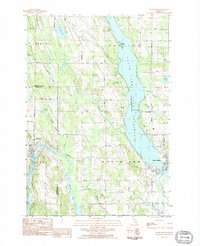
1983 · Ellsworth
USGS Topo · 1:25,000
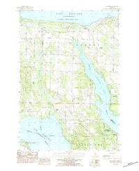
1983 · Bay Shore
USGS Topo · 1:25,000
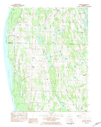
1983 · Atwood
USGS Topo · 1:24,000