2000s (21st Century) Maps of Norwood Township, Michigan
Explore 20 historic maps of Norwood Township from the 2000s (21st Century). These maps offer a rare glimpse into what life looked like during the 2000s — showing old roads, neighborhoods, homes, and landmarks that have changed or disappeared over time.
Whether you're researching your family's past, planning a metal detecting trip, or studying how Norwood Township's landscape evolved across the 2000s, these high-resolution maps are a powerful tool for exploring the history of this region.
- Focus on a specific era: All maps on this page are from the 2000s, giving you a focused view of this time period.
- See what’s changed: Compare century-old streets, trails, and buildings to today's modern landscape using overlays and satellite layers.
- Research with precision: Use these maps for genealogy, historical research, land use analysis, or educational projects.
- View, download, or print: Maps are fully viewable online in high resolution, and can be downloaded or printed for your own records.
Start exploring Norwood Township's history through authentic maps from the 2000s. This is your window into the past.
Norwood Township, MI maps
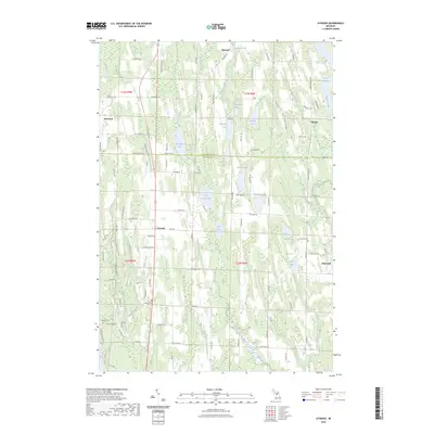
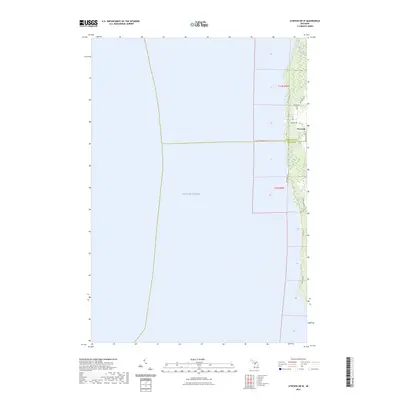
(20)- 2011 Map of Atwood OE W, 2011 Print
 2011 Atwood OE W2011 Print · USGSCovers Norwood Township, including Norwood, Banks Township, and other nearby areas
 - 2011 Map of Atwood, 2011 Print
 2011 Atwood2011 Print · USGSCovers Norwood Township, including Ellsworth, Atwood, and other nearby areas
 - 2011 Map of Charlevoix OE W, 2011 Print
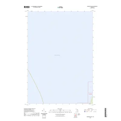
 2011 Charlevoix OE W2011 Print · USGSCovers Norwood Township, including Charlevoix County, United States, and other nearby areas
 - 2011 Map of Charlevoix, 2011 Print
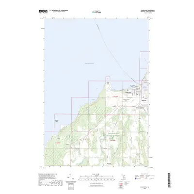
 2011 Charlevoix2011 Print · USGSCovers Norwood Township, including Charlevoix, Charlevoix Township, and other nearby areas
 - 2014 Map of Charlevoix OE W, 2014 Print
 2014 Charlevoix OE W2014 Print · USGSCovers Norwood Township, including Charlevoix County, United States, and other nearby areas
 - 2014 Map of Atwood OE W, 2014 Print
 2014 Atwood OE W2014 Print · USGSCovers Norwood Township, including Norwood, Banks Township, and other nearby areas
 - 2014 Map of Atwood, 2014 Print
 2014 Atwood2014 Print · USGSCovers Norwood Township, including Ellsworth, Atwood, and other nearby areas
 - 2014 Map of Charlevoix, 2014 Print
 2014 Charlevoix2014 Print · USGSCovers Norwood Township, including Charlevoix, Charlevoix Township, and other nearby areas
 - 2017 Map of Charlevoix, 2017 Print
 2017 Charlevoix2017 Print · USGSCovers Norwood Township, including Charlevoix, Charlevoix Township, and other nearby areas
 - 2017 Map of Charlevoix OE W, 2017 Print
 2017 Charlevoix OE W2017 Print · USGSCovers Norwood Township, including Charlevoix County, United States, and other nearby areas
 - 2017 Map of Atwood, 2017 Print
 2017 Atwood2017 Print · USGSCovers Norwood Township, including Ellsworth, Atwood, and other nearby areas
 - 2017 Map of Atwood OE W, 2017 Print
 2017 Atwood OE W2017 Print · USGSCovers Norwood Township, including Norwood, Banks Township, and other nearby areas
 - 2019 Map of Atwood OE W, 2019 Print
 2019 Atwood OE W2019 Print · USGSCovers Norwood Township, including Norwood, Banks Township, and other nearby areas
 - 2019 Map of Charlevoix OE W, 2019 Print
 2019 Charlevoix OE W2019 Print · USGSCovers Norwood Township, including Charlevoix County, United States, and other nearby areas
 - 2019 Map of Charlevoix, 2019 Print
 2019 Charlevoix2019 Print · USGSCovers Norwood Township, including Charlevoix, Charlevoix Township, and other nearby areas
 - 2019 Map of Atwood, 2019 Print
 2019 Atwood2019 Print · USGSCovers Norwood Township, including Ellsworth, Atwood, and other nearby areas
 - 2023 Map of Atwood, 2023 Print
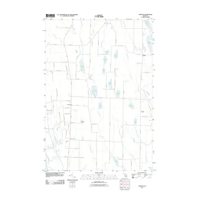
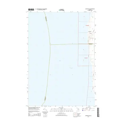
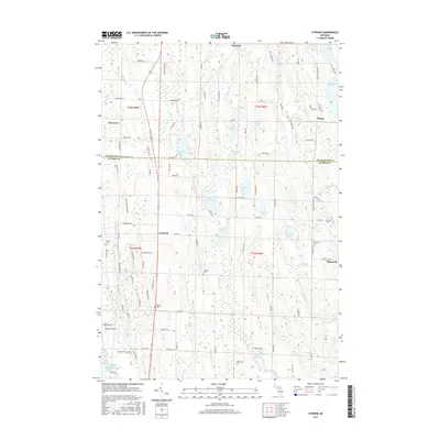
 2023 Atwood2023 Print · USGSThe rural lake country of Antrim and Charlevoix counties is detailed here in this recent survey. Researchers can locate family landmarks along Old Dixie Hwy and trace historical burials at the Atwood Cem, Antrim Cem, or Ellsworth Cem.
 - 2023 Map of Atwood OE W, 2023 Print
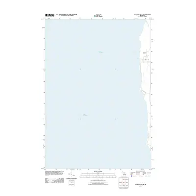
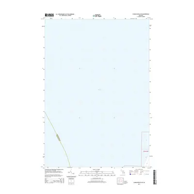
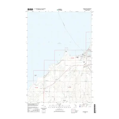
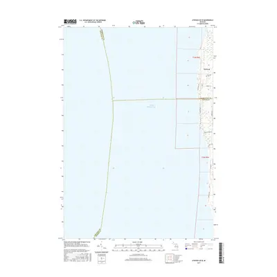
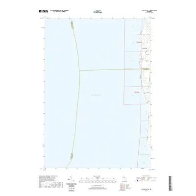
 2023 Atwood OE W2023 Print · USGSThe Lake Michigan shoreline of Antrim and Charlevoix counties is captured here in the early 2020s. Researchers can trace local history at Norwood Cem and follow the route of Old Dixie Hwy as it passes the coastal village of Norwood.
 - 2023 Map of Charlevoix, 2023 Print
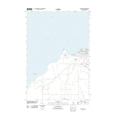
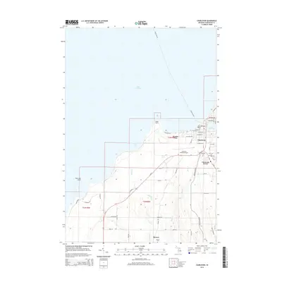
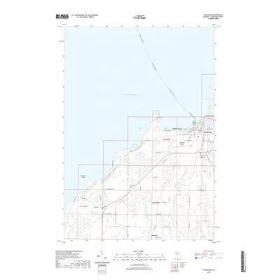
 2023 Charlevoix2023 Print · USGSCharlevoix and its Lake Michigan waterfront are shown here in the 2020s, highlighting the area's unique maritime and civic layout. Trace local genealogy and history through Brookside Cem, the Beaver Island Ferry, and Boulder Park.
 - 2023 Map of Charlevoix OE W, 2023 Print
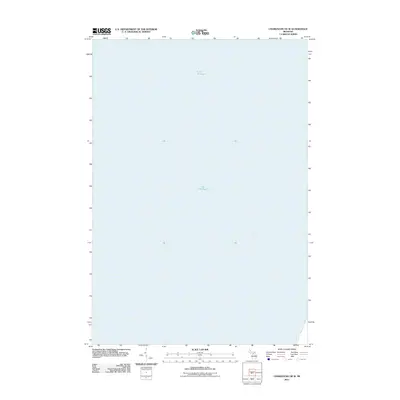
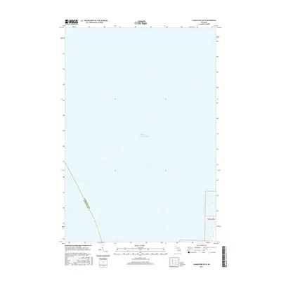
 2023 Charlevoix OE W2023 Print · USGSThe Lake Michigan shoreline is the central focus of this coastal survey from the early 2020s. Genealogists and researchers can trace the precise boundaries of T33N R9W where the land meets the vast waters of Lake Michigan.
End of results
Showing maps 1-20 of 20
Top cities near Norwood Township
- Charlevoix historical maps
- East Jordan historical maps
- Torch Lake historical maps
- Central Lake historical maps
- Norwood historical maps
- Ellsworth historical maps
Top neighborhoods of Norwood Township
Frequently asked questions
- What are the different types of historical maps available for Norwood Township?
- What is the oldest map of Norwood Township?
- Where can I purchase historical maps of Norwood Township for my home or office?
- Where can I download high-res historical maps of Norwood Township?
- Are there historical topographic maps available for Norwood Township?
- Is there historical aerial imagery available for Norwood Township?
- Where are historical maps of Norwood Township sourced from?