Loading...
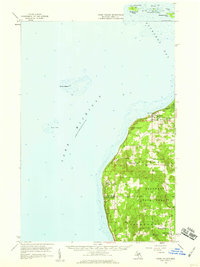
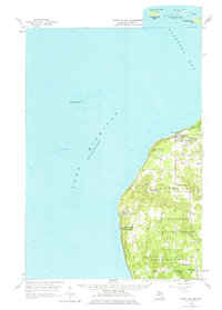
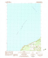
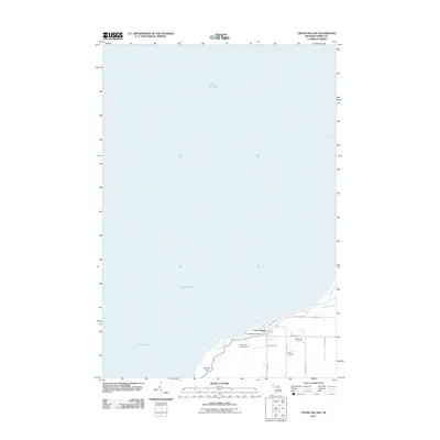
Loading map...1958 Map of Cross Village
USGS Topo · Published 1959About this map
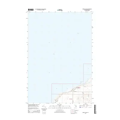
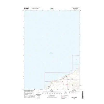
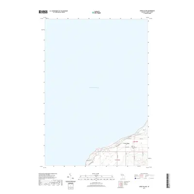
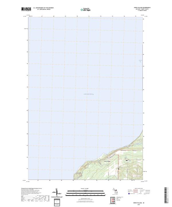
Cross Village and the remote northern shoreline of Lake Michigan define this 1958 survey of Emmet County. The map details a landscape where traditional settlements and spiritual sites are deeply integrated into the coastal terrain, most notably at the Holy Cross Cem and the Indian Cem. Small agrarian and fishing outposts like Good Hart and Middle Village are connected by narrow roads winding through the Hardwood State Forest, reflecting a quiet mid-century pace of life before modern development.
Find a feature on this map
27 named features on this map. Tap any name to fly to it.
Don’t see what you’re looking for? This feature index may not catch every label — zoom into the map to look around manually.
Map Details
Date Portrayed1958
Date Published1959
PublisherU.S. Geological Survey
Map TypeTopographic
Scale1:62,500
Physical Dimensions15.9 x 21.2 inches
Editions of this 1958 Cross Village Map
2 editions found
Historical Maps of Cross Village Through Time
7 maps found
Featured Locations
- Cross Village Township, MI
- Friendship Township, MI
- Readmond Township, MI
- Cross Village, Cross Village Township
- Middle Village, Friendship Township
Source Details
SourceU.S. Geological Survey
CopyrightPublic Domain