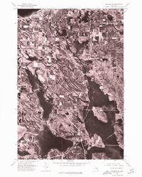
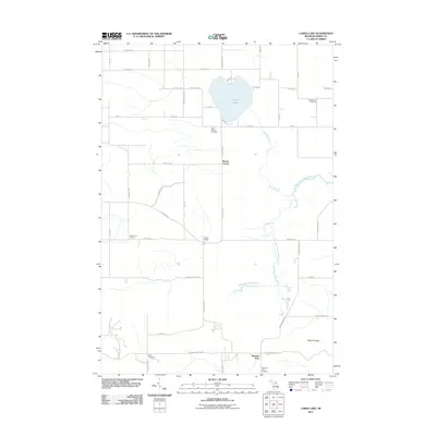
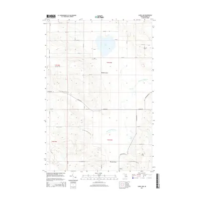
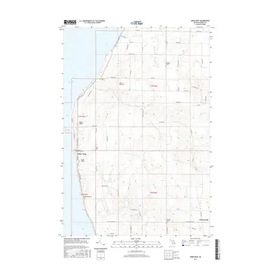
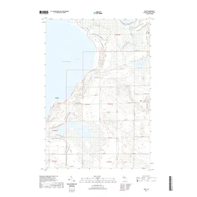
1975 Map of Petoskey NW
USGS Topo · Published 1976About this map
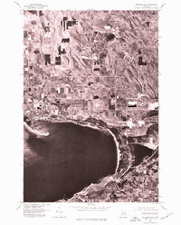
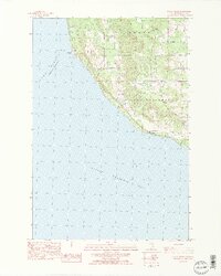
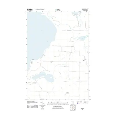
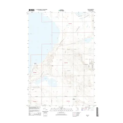
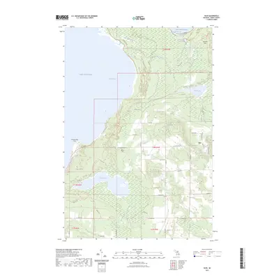
Little Traverse Bay defines the geography of this mid-1970s orthophotograph, where the deep waters of Lake Michigan meet the shores of Emmet County. The aerial imagery reveals a sharp contrast between the established waterfront developments at Harbor Springs and the structured agricultural and wooded tracts to the north. Along the southern curve of the bay, the settlement of Petoskey and the historic summer community of Bay View are visible, their street grids and shorelines clearly delineated against the coastal terrain. This 1975 survey captures the regional landscape during a period of steady growth, providing an overhead perspective on the spatial relationship between these resort communities and the rural uplands that overlook the water.
Find a feature on this map
4 named features on this map. Tap any name to fly to it.
Don’t see what you’re looking for? This feature index may not catch every label — zoom into the map to look around manually.
Map Details
Editions of this 1975 Petoskey NW Map
This is the sole edition of this map. No revisions or reprints were ever made.
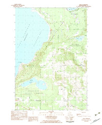
Historical Maps of Petoskey Through Time
51 maps found
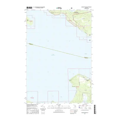
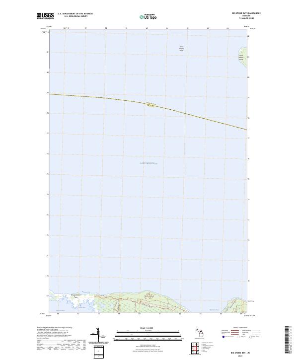
1964 Big Stone Bay
Emmet County, MI
1964 McGulpin Point
Emmet County, MI
1975 Petoskey NE
Emmet County, MI
1975 Petoskey NW
Emmet County, MI
1975 Petoskey SW
Emmet County, MI
1982 Bliss
Emmet County, MI
1982 Good Hart
Emmet County, MI
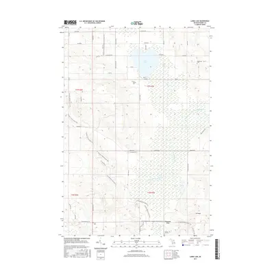
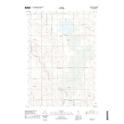
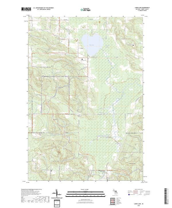
1982 Larks Lake
Emmet County, MI
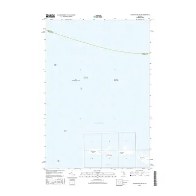
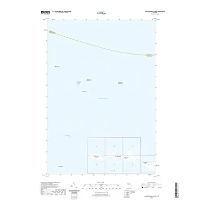
1982 Waugoshance Island
Emmet County, MI
1983 Epsilon
Emmet County, MI
1983 Forest Beach
Emmet County, MI
2011 Big Stone Bay
Emmet County, MI
2011 Bliss
Emmet County, MI
2011 Epsilon
Emmet County, MI
2011 Forest Beach
Emmet County, MI
2011 Good Hart
Emmet County, MI
2011 Larks Lake
Emmet County, MI
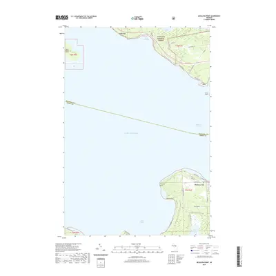
2011 McGulpin Point
Emmet County, MI
2011 Waugoshance Island
Emmet County, MI
2014 Big Stone Bay
Emmet County, MI
2014 Bliss
Emmet County, MI
2014 Epsilon
Emmet County, MI
2014 Forest Beach
Emmet County, MI
2014 Good Hart
Emmet County, MI
2014 Larks Lake
Emmet County, MI
2014 McGulpin Point
Emmet County, MI
2014 Waugoshance Island
Emmet County, MI
2017 Big Stone Bay
Emmet County, MI
2017 Bliss
Emmet County, MI
2017 Epsilon
Emmet County, MI
2017 Forest Beach
Emmet County, MI
2017 Good Hart
Emmet County, MI
2017 Larks Lake
Emmet County, MI
2017 McGulpin Point
Emmet County, MI
2017 Waugoshance Island
Emmet County, MI
2019 Big Stone Bay
Emmet County, MI
2019 Bliss
Emmet County, MI
2019 Epsilon
Emmet County, MI
2019 Forest Beach
Emmet County, MI
2019 Good Hart
Emmet County, MI
2019 Larks Lake
Emmet County, MI
2019 McGulpin Point
Emmet County, MI
2019 Waugoshance Island
Emmet County, MI
2023 Big Stone Bay
Emmet County, MI
2023 Bliss
Emmet County, MI
2023 Epsilon
Emmet County, MI
2023 Forest Beach
Emmet County, MI
2023 Good Hart
Emmet County, MI
2023 Larks Lake
Emmet County, MI
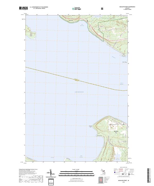
2023 McGulpin Point
Emmet County, MI
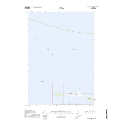
2023 Waugoshance Island
Emmet County, MI
Featured Locations
- Bear Creek Township, MI
- Harbor Springs, MI
- Little Traverse Township, MI
- Petoskey, MI
- Roaring Brook, Little Traverse Township