Loading...
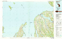
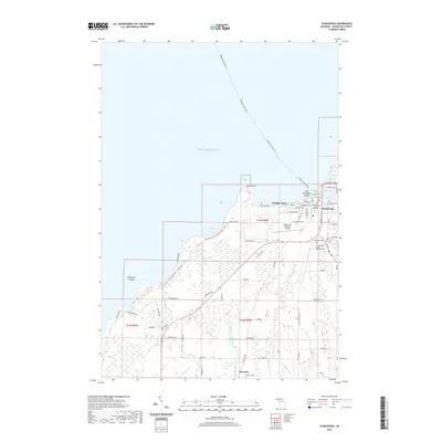
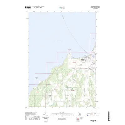
Loading map...1954 Map of Charlevoix
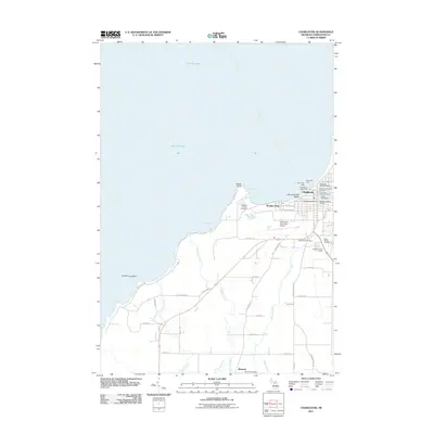
USGS Topo · Published 1977About this map
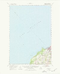
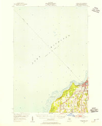
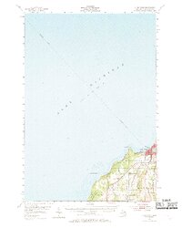
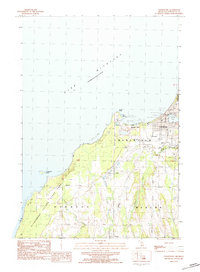
Lake Michigan dominates this 1950s coastal study, revealing the intricate water connections that defined the region's early growth. The town of Charlevoix sits at a critical junction where the Pine R and Round L meet the lake, serving as a maritime hub. A Submarine Cable tracks across the lake floor towards the northwest, while the Chesapeake And Ohio railroad line parallels the shoreline, illustrating the essential transport corridors of the mid-20th century.
Find a feature on this map
29 named features on this map. Tap any name to fly to it.
Don’t see what you’re looking for? This feature index may not catch every label — zoom into the map to look around manually.
Map Details
Date Portrayed1954
Date Published1977
PublisherU.S. Geological Survey
Map TypeTopographic
Scale1:62,500
Physical Dimensions17.88 x 22.13 inches
Editions of this 1954 Charlevoix Map
3 editions found
Historical Maps of Charlevoix Through Time
8 maps found
Featured Locations
- Norwood Township, MI
- Charlevoix, MI
- Marion Township, MI
- Barnard, Marion Township
- Boulder Park, Charlevoix Township
Source Details
SourceU.S. Geological Survey
CopyrightPublic Domain