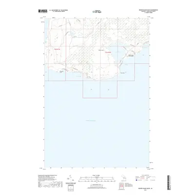
2019 Map of Beaver Island South
USGS Topo · Published 2019About this map
Beaver Island's southern coastline and interior wetlands dominate this 2019 survey, revealing a landscape defined by water and narrow transit corridors. Large inland water bodies like Lake Geneserath and Millers Marsh are connected by a network of named trails and roads such as Doddy's Trl and Betsy Smith Trl. The coastline is remarkably varied, featuring prominent landmarks like Cheyenne Point and Kelly Point, alongside deep indentations at Iron Ore Bay, French Bay, and McCauley Bay.
Find a feature on this map
30 named features on this map. Tap any name to fly to it.
Don’t see what you’re looking for? This feature index may not catch every label — zoom into the map to look around manually.
Map Details
Editions of this 2019 Beaver Island South Map
This is the sole edition of this map. No revisions or reprints were ever made.
Other maps of this area

1954 · Charlevoix
USGS Topo · 1:62,500

1955 · Cheboygan
USGS Topo · 1:250,000

1956 · Beaver Island
USGS Topo · 1:62,500

1958 · Cheboygan
USGS Topo · 1:250,000

1984 · Beaver Island
USGS Topo · 1:100,000

1984 · Charlevoix
USGS Topo · 1:100,000

1986 · High Island
USGS Topo · 1:24,000

1986 · Beaver Island North
USGS Topo · 1:24,000
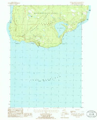
1986 · Beaver Island South
USGS Topo · 1:24,000

2011 · Beaver Island North OE E
USGS Topo · 1:24,000