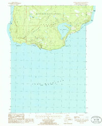
1986 Map of Beaver Island South
USGS Topo · Published 1986About this map
Lake Geneserath dominates the southeastern portion of this survey, surrounded by the dense woodlands of the Mackinaw State Forest. The map documents the southern tip of Beaver Island within Peaine Twp, showing a landscape defined by isolated marshes like Millers Marsh and a series of distinct coastal points. The southern shoreline is marked by the broad sweep of Iron Ore Bay, where Iron Ore Creek meets the lake.
Find a feature on this map
18 named features on this map. Tap any name to fly to it.
Don’t see what you’re looking for? This feature index may not catch every label — zoom into the map to look around manually.
Map Details
Editions of this 1986 Beaver Island South Map
This is the sole edition of this map. No revisions or reprints were ever made.
Other maps of this area

1954 · Charlevoix
USGS Topo · 1:62,500

1955 · Cheboygan
USGS Topo · 1:250,000

1956 · Beaver Island
USGS Topo · 1:62,500

1958 · Cheboygan
USGS Topo · 1:250,000

1984 · Beaver Island
USGS Topo · 1:100,000

1984 · Charlevoix
USGS Topo · 1:100,000

1986 · High Island
USGS Topo · 1:24,000

1986 · Beaver Island North
USGS Topo · 1:24,000

2011 · Beaver Island North OE E
USGS Topo · 1:24,000
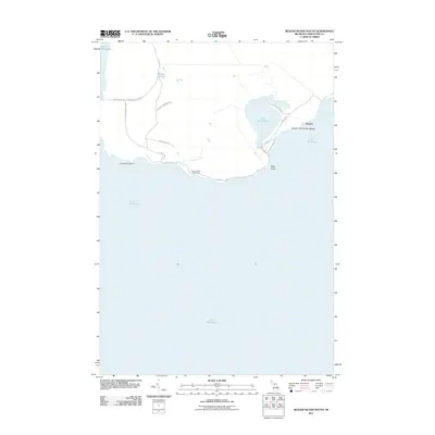
2011 · Beaver Island South
USGS Topo · 1:24,000