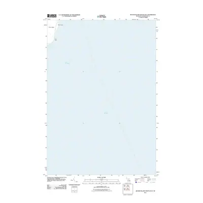
2011 Map of Beaver Island South OE E
USGS Topo · Published 2011About this map
Beaver Island's eastern shoreline meets the vast expanse of Lake Michigan in this 2011 survey, showing a landscape defined by its coastal points and secluded waters. The map focuses on a specific stretch of the island's eastern edge where the land narrows into prominent geographical features such as Martin Point and Kilty Point. These landmarks serve as natural boundaries for McCauley Bay, a quiet inlet that characterizes the island's relationship with the lake. The terrain depicted here is a specialized view of the island's maritime geography, highlighting the interplay between the shore and the surrounding water at a high level of detail. For those interested in the physical layout of the island, this map provides a clear record of its easternmost reaches as they were documented at the start of the 2010s.
Find a feature on this map
5 named features on this map. Tap any name to fly to it.
Don’t see what you’re looking for? This feature index may not catch every label — zoom into the map to look around manually.
Map Details
Editions of this 2011 Beaver Island South OE E Map
This is the sole edition of this map. No revisions or reprints were ever made.
Other maps of this area

1954 · Charlevoix
USGS Topo · 1:62,500

1955 · Cheboygan
USGS Topo · 1:250,000

1956 · Beaver Island
USGS Topo · 1:62,500

1958 · Cheboygan
USGS Topo · 1:250,000

1984 · Beaver Island
USGS Topo · 1:100,000

1984 · Charlevoix
USGS Topo · 1:100,000

1986 · Beaver Island North
USGS Topo · 1:24,000
1986 · Beaver Island South
USGS Topo · 1:24,000

2011 · Beaver Island North OE E
USGS Topo · 1:24,000
2011 · Beaver Island South
USGS Topo · 1:24,000