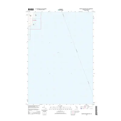
2014 Map of Beaver Island South OE E
USGS Topo · Published 2014About this map
Lake Michigan dominates this coastal survey, where the northwestern corner of the sheet captures the rugged eastern shoreline of Beaver Island. The island’s topography is marked by notable coastal landmarks including Martin Point and Kilty Point, providing a precise look at the shoreline configuration within t37n r10w. A significant portion of the map is dedicated to the open water, tracing the transit corridor of the Beaver Island Fry as it cuts across the lake toward the mainland. This 2014 representation serves as a clear record of the maritime navigation routes and geographic features of the archipelago’s southern waters.
Find a feature on this map
6 named features on this map. Tap any name to fly to it.
Don’t see what you’re looking for? This feature index may not catch every label — zoom into the map to look around manually.
Map Details
Editions of this 2014 Beaver Island South OE E Map
This is the sole edition of this map. No revisions or reprints were ever made.
Other maps of this area

1954 · Charlevoix
USGS Topo · 1:62,500

1955 · Cheboygan
USGS Topo · 1:250,000

1956 · Beaver Island
USGS Topo · 1:62,500

1958 · Cheboygan
USGS Topo · 1:250,000

1984 · Beaver Island
USGS Topo · 1:100,000

1984 · Charlevoix
USGS Topo · 1:100,000

1986 · Beaver Island North
USGS Topo · 1:24,000
1986 · Beaver Island South
USGS Topo · 1:24,000

2011 · Beaver Island North OE E
USGS Topo · 1:24,000
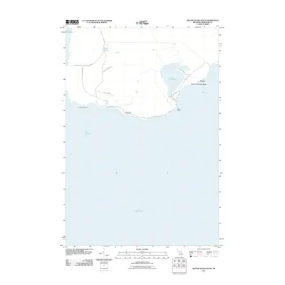
2011 · Beaver Island South
USGS Topo · 1:24,000