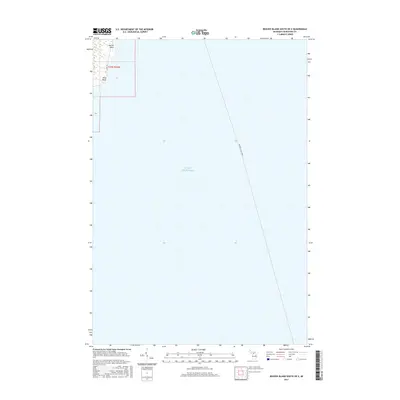
2017 Map of Beaver Island South OE E
USGS Topo · Published 2017About this map
Lake Michigan dominates this coastal survey, where the open water is traversed by the charted path of the Beaver Island Ferry. Along the northwestern shore, the land emerges at Martin Point and Kilty Point, providing clear geographic markers for the eastern edge of Beaver Island. The terrestrial portion of the map is defined by the route of E Side Dr, which skirts the coastline. This 2017 edition illustrates the modern maritime and road infrastructure connecting this remote island community to the Michigan mainland, focused specifically on the southern OE E quadrangle within township t37n r10w.
Find a feature on this map
11 named features on this map. Tap any name to fly to it.
Don’t see what you’re looking for? This feature index may not catch every label — zoom into the map to look around manually.
Map Details
Editions of this 2017 Beaver Island South OE E Map
This is the sole edition of this map. No revisions or reprints were ever made.
Other maps of this area

1954 · Charlevoix
USGS Topo · 1:62,500

1955 · Cheboygan
USGS Topo · 1:250,000

1956 · Beaver Island
USGS Topo · 1:62,500

1958 · Cheboygan
USGS Topo · 1:250,000

1984 · Beaver Island
USGS Topo · 1:100,000

1984 · Charlevoix
USGS Topo · 1:100,000

1986 · Beaver Island North
USGS Topo · 1:24,000
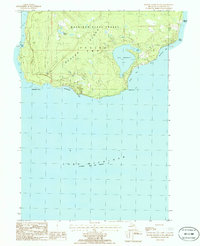
1986 · Beaver Island South
USGS Topo · 1:24,000

2011 · Beaver Island North OE E
USGS Topo · 1:24,000
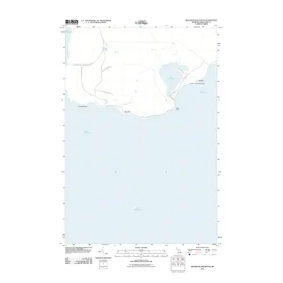
2011 · Beaver Island South
USGS Topo · 1:24,000