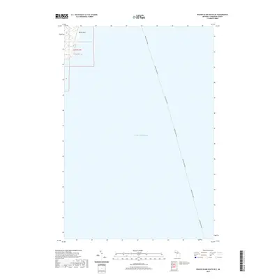
2019 Map of Beaver Island South OE E
USGS Topo · Published 2019About this map
Lake Michigan dominates this coastal survey, where the deep waters east of Beaver Island are traversed by the long maritime path of the Beaver Island Ferry. The map focuses primarily on the open water and the underwater topography of the northern lake, yet it captures a vital slice of the island's eastern shoreline. Land-based features are concentrated in the northwest corner, where the coastal road E Side Dr follows the contours of the land between Martin Point and Kilty Point. This area illustrates the isolated nature of the island's geography, showing the sparse infrastructure and natural points that define the transition from the forested interior to the lake. The inclusion of the ferry route provides a clear indication of the essential transportation link between the mainland and the island community.
Find a feature on this map
10 named features on this map. Tap any name to fly to it.
Don’t see what you’re looking for? This feature index may not catch every label — zoom into the map to look around manually.
Map Details
Editions of this 2019 Beaver Island South OE E Map
This is the sole edition of this map. No revisions or reprints were ever made.
Other maps of this area

1954 · Charlevoix
USGS Topo · 1:62,500

1955 · Cheboygan
USGS Topo · 1:250,000

1956 · Beaver Island
USGS Topo · 1:62,500

1958 · Cheboygan
USGS Topo · 1:250,000

1984 · Beaver Island
USGS Topo · 1:100,000

1984 · Charlevoix
USGS Topo · 1:100,000

1986 · Beaver Island North
USGS Topo · 1:24,000
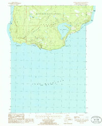
1986 · Beaver Island South
USGS Topo · 1:24,000

2011 · Beaver Island North OE E
USGS Topo · 1:24,000
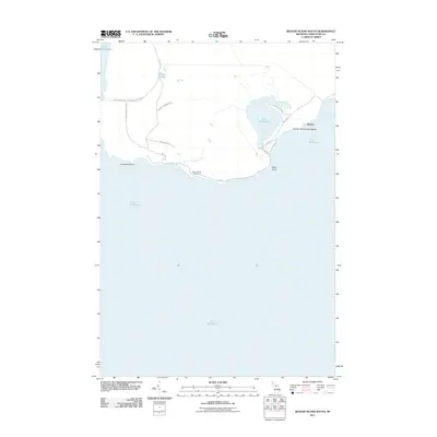
2011 · Beaver Island South
USGS Topo · 1:24,000