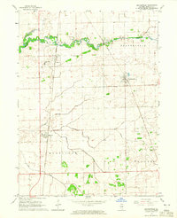
1964 Map of Beaverville
USGS Topo · Published 1965About this map
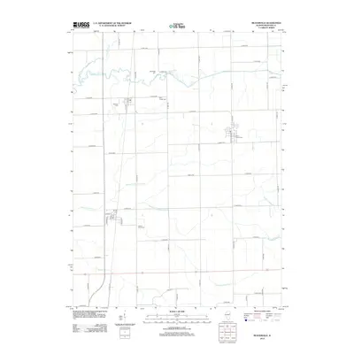
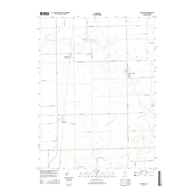
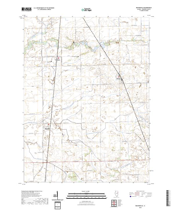
Beaver Creek winds through the northern portion of this Illinois landscape, where intensive agricultural drainage is evident through a complex network of channels including Beaver Ditch No 1 and Ditch No 2. This mid-century survey captures the rural infrastructure of Iroquois County, centered on the small settlements of Beaverville, Papineau, and Martinton. The era's transportation-driven economy is clearly defined by the crossing of the New York Central and Chicago and Eastern Illinois railroads, which facilitated movement between these prairie communities. Local landmarks like St Joseph Ch and Oak Ridge Cem offer essential reference points for genealogists, while a solitary Sandpit near the creek suggests localized extraction industries. The map reflects a landscape transformed by drainage engineering to support the fertile farmsteads that dominate the township lines.
Find a feature on this map
18 named features on this map. Tap any name to fly to it.
Don’t see what you’re looking for? This feature index may not catch every label — zoom into the map to look around manually.
Map Details
Editions of this 1964 Beaverville Map
2 editions found
Historical Maps of Martinton Through Time
6 maps found