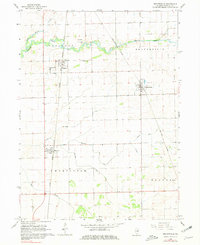
1964 Map of Beaverville
USGS Topo · Published 1981About this map
Beaver Creek and Little Beaver Creek wind through this mid-1960s landscape in Iroquois County, defining the drainage patterns of a region deeply connected to the rail economy. The area is anchored by the rural settlements of Beaverville, Papineau, and Martinton, each positioned along the vital transportation corridors of the Chicago and Eastern Illinois and New York Central railroads.
Find a feature on this map
19 named features on this map. Tap any name to fly to it.
Don’t see what you’re looking for? This feature index may not catch every label — zoom into the map to look around manually.
Map Details
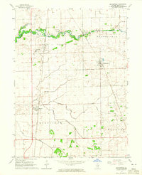
Editions of this 1964 Beaverville Map
2 editions found
Other maps of this area

1922 · Momence
USGS Topo · 1:62,500

1922 · Kankakee
USGS Topo · 1:62,500

1924 · Momence
USGS Topo · 1:62,500

1924 · Kankakee
USGS Topo · 1:62,500

1935 · Watseka
USGS Topo · 1:48,000

1939 · Watseka
USGS Topo · 1:62,500

1944 · Gilman
USGS Topo · 1:62,500

1946 · Gilman
USGS Topo · 1:62,500

1953 · Chicago
USGS Topo · 1:250,000

1953 · Danville
USGS Topo · 1:250,000