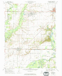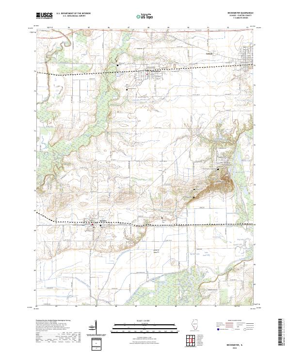
2024 Map of Beckemeyer
USGS Topo · Published 2024About this map
Beckemeyer, Carlyle, and Bartelso anchor this Clinton County landscape, defined by a complex network of waterways and drainage infrastructure. The Kaskaskia River and Shoal Creek frame an area where the Santa Fe Bottoms and low-lying wetlands like Pelican Pouch dominate the southern and eastern reaches. Significant engineering is evident through the Hanover Drainage Ditch and Santa Fe Drainage Ditch, which manage the flow through the bottomlands toward a series of natural and man-made lakes, including Greenville Old City Lake and Goose Lake. Local history is deeply rooted in the numerous family and parish grounds scattered across the townships, such as Beckemeyer Cem, Saint Anthonys Cem, and the Lacey Cem. The region's transport history is visible in the alignment of Old US Hwy 50 and Railroad St, reflecting the transit corridor that historically connected these rural settlements.
Find a feature on this map
79 named features on this map. Tap any name to fly to it.
Don’t see what you’re looking for? This feature index may not catch every label — zoom into the map to look around manually.
Map Details
Editions of this 2024 Beckemeyer Map
This is the sole edition of this map. No revisions or reprints were ever made.