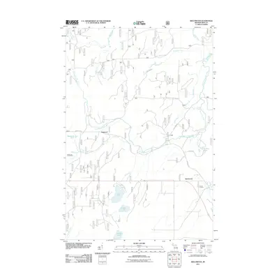
2011 Map of Beechwood
USGS Topo · Published 2011About this map
Beechwood and Basswood anchor this interior view of Iron County, where the landscape is defined by the winding course of the South Branch Paint River and a network of named forest roads. The area's settlement history is marked by Rosehill Cemetery near the eastern edge, while the Golden Lake Lookout Tower stands as a sentinel over the surrounding timberland. This 2011 survey reveals a territory rich in hydrology, from larger bodies like Silver Lake and Homan Lake to smaller, purpose-named features such as Fur Farm Pond. These water bodies, connected by tributaries like Cooks Run and McRae Creek, illustrate the complex drainage patterns of the Upper Peninsula. Numerous forest routes, including Federal Forest 3270 Rd and Gold Mine Rd, suggest the area's historical reliance on resource extraction and forestry management.
Find a feature on this map
27 named features on this map. Tap any name to fly to it.
Don’t see what you’re looking for? This feature index may not catch every label — zoom into the map to look around manually.
Map Details
Editions of this 2011 Beechwood Map
This is the sole edition of this map. No revisions or reprints were ever made.
Other maps of this area

1895 · Perch Lake
USGS Topo · 1:62,500

1898 · Iron River
USGS Topo · 1:62,500

1944 · Iron River
USGS Topo · 1:24,000

1945 · Gibbs City
USGS Topo · 1:24,000

1946 · Iron River
USGS Topo · 1:31,680

1946 · Gibbs City
USGS Topo · 1:31,680

1954 · Kenton
USGS Topo · 1:62,500

1954 · Perch Lake
USGS Topo · 1:62,500

1956 · Beechwood
USGS Topo · 1:62,500

1958 · Iron River
USGS Topo · 1:250,000