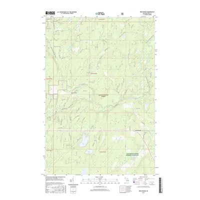
2017 Map of Beechwood
USGS Topo · Published 2017About this map
Beechwood and Basswood occupy this portion of the western Upper Peninsula, characterized by an intricate network of forest service roads and high-latitude water bodies. The settlement of Beechwood is located in the southeastern quadrant, where Rosehill Cem provides a focal point for local genealogical research. This landscape is defined by the Ottawa National Forest, where drainage patterns like Cooks Run and the South Branch Paint River weave through the timberlands. Notable smaller bodies of water include Silver Lake, Timber Lake, and the distinctly named Fur Farm Pond. Extensive Forest Service Road systems, such as Federal Forest 3270 Rd, illustrate the long-term management of these northern woods and provide access to remote areas like Crowfoot Lake.
Find a feature on this map
76 named features on this map. Tap any name to fly to it.
Don’t see what you’re looking for? This feature index may not catch every label — zoom into the map to look around manually.
Map Details
Editions of this 2017 Beechwood Map
This is the sole edition of this map. No revisions or reprints were ever made.
Other maps of this area

1895 · Perch Lake
USGS Topo · 1:62,500

1898 · Iron River
USGS Topo · 1:62,500

1944 · Iron River
USGS Topo · 1:24,000

1945 · Gibbs City
USGS Topo · 1:24,000

1946 · Iron River
USGS Topo · 1:31,680

1946 · Gibbs City
USGS Topo · 1:31,680

1954 · Kenton
USGS Topo · 1:62,500

1954 · Perch Lake
USGS Topo · 1:62,500

1956 · Beechwood
USGS Topo · 1:62,500

1958 · Iron River
USGS Topo · 1:250,000