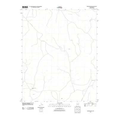
2010 Map of Beenham SW
USGS Topo · Published 2010About this map
Campbell and Timmons occupy this high plains landscape in northeastern New Mexico, where the network of rural routes defines local geography. The map traces a series of unpaved arteries including County Hwy C-015 and County Road L, which connect isolated homesteads and ranching outposts across the terrain.
Find a feature on this map
9 named features on this map. Tap any name to fly to it.
Don’t see what you’re looking for? This feature index may not catch every label — zoom into the map to look around manually.
Map Details
Editions of this 2010 Beenham SW Map
This is the sole edition of this map. No revisions or reprints were ever made.
Other maps of this area

1954 · Tucumcari
USGS Topo · 1:250,000

1954 · Dalhart
USGS Topo · 1:250,000

1958 · Tucumcari
USGS Topo · 1:250,000

1958 · Dalhart
USGS Topo · 1:250,000

1962 · Dalhart
USGS Topo · 1:250,000

1973 · Bueyeros NE
USGS Topo · 1:24,000

1973 · Yates SE
USGS Topo · 1:24,000

1973 · Garcia Creek
USGS Topo · 1:24,000

1973 · Beenham
USGS Topo · 1:24,000
1973 · Minnie Butte
USGS Topo · 1:24,000