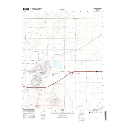
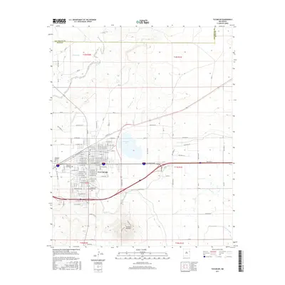
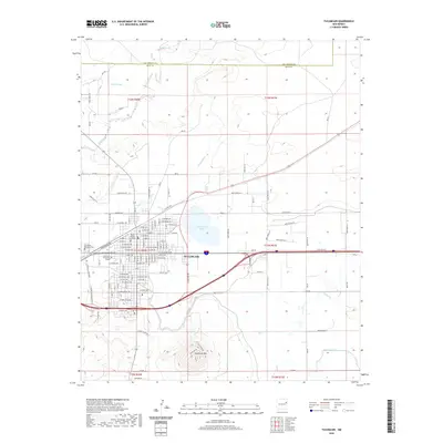
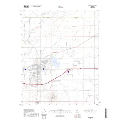
1958 Map of Tucumcari
USGS Topo · Published 1958About this map
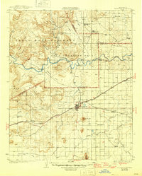
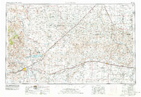
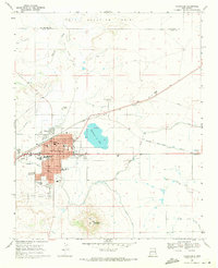
Tucumcari Mountain stands as a sentinel over the high plains of Eastern New Mexico, marking a transition from the mesas of Mesa Rica to the expansive ranching country of the Llano Estacado. This 1958 survey captures a vital transportation corridor during the late steam and early diesel era, where the Southern Pacific and Chicago Rock Island and Pacific railroads parallel the path of U.S. 66. To the west, the Conchas Reservoir on the Canadian River represents significant mid-century water management in an otherwise arid landscape defined by drainages like Ute Creek. The map details the ranching infrastructure of the Texas Panhandle and New Mexico borderlands, showing numerous windmills and remote outposts such as Nara Visa and Glenrio. This document records the spatial relationship between old cattle-drive geography and the rising influence of mid-century interstate travel.
Find a feature on this map
92 named features on this map. Tap any name to fly to it.
Don’t see what you’re looking for? This feature index may not catch every label — zoom into the map to look around manually.
Map Details
Editions of this 1958 Tucumcari Map
This is the sole edition of this map. No revisions or reprints were ever made.
Historical Maps of Tucumcari Through Time
9 maps found