
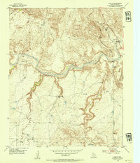
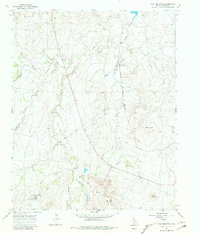
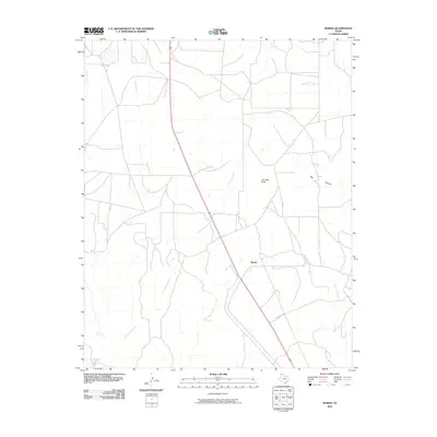
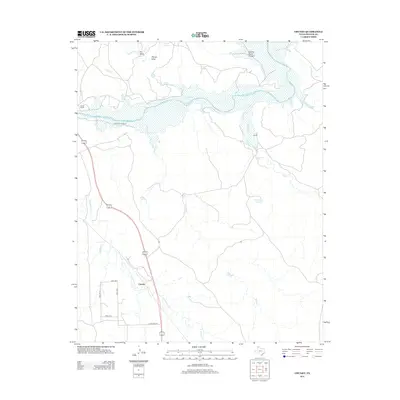
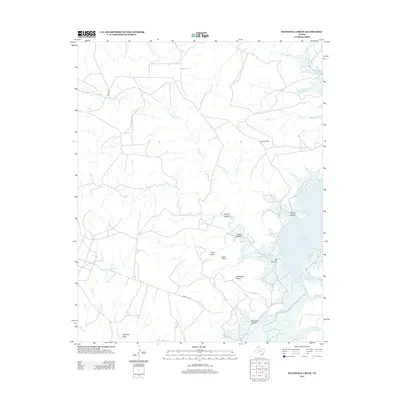
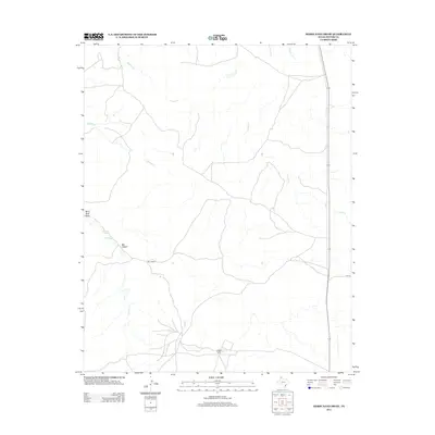
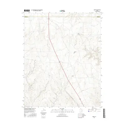
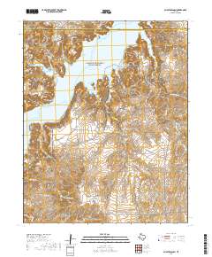
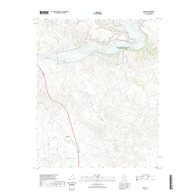
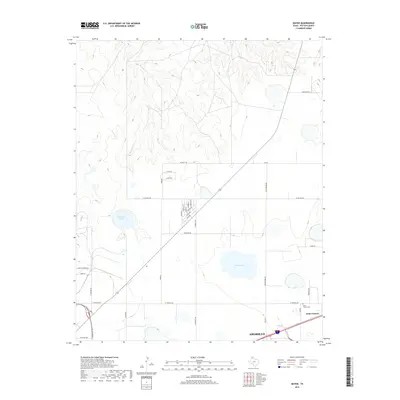
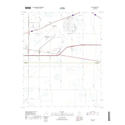
1934 Map of Cliffside
USGS Topo · Published 1959About this map
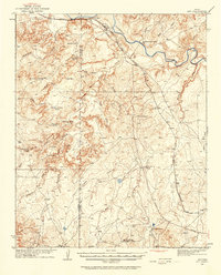
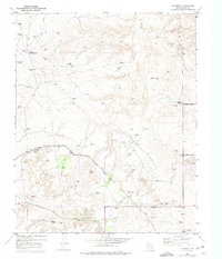
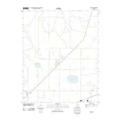
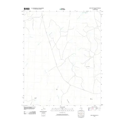
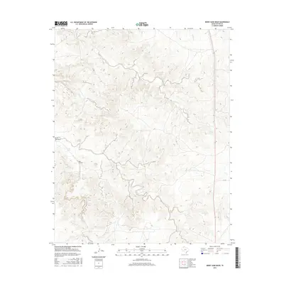
JY Ranch, LX Ranch, and Cross Bar Ranch dominate this Panhandle landscape, illustrating the massive scale of early 20th-century Texas cattle operations. The Canadian River cuts through the northern section, its valley served by the Canadian River Store and the remote outpost of Puente. The map reveals a transition from traditional ranching to industrial infrastructure, evidenced by the Amarillo Sewage Disposal Plant and the Bishops Quarry near the Tascosa and Amarillo Highway. Significant transportation networks converge here, including the Panhandle and Santa Fe and the Denver City and Fort Worth and Denver City railroads, which facilitated the region's growth. Educational and community focal points like Pleasant Valley Sch and settlements such as Cliffside and Juilliard provide essential markers for genealogists tracing family roots in Potter County during the 1930s.
Find a feature on this map
31 named features on this map. Tap any name to fly to it.
Don’t see what you’re looking for? This feature index may not catch every label — zoom into the map to look around manually.
Map Details
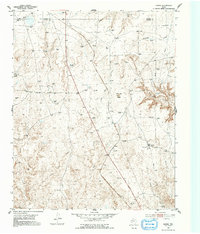
Editions of this 1934 Cliffside Map
This is the sole edition of this map. No revisions or reprints were ever made.
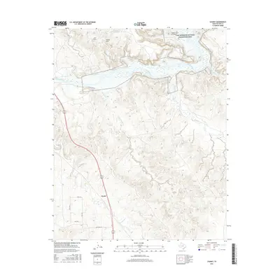
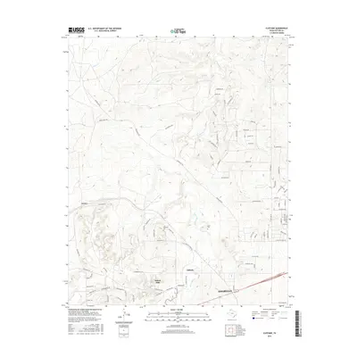
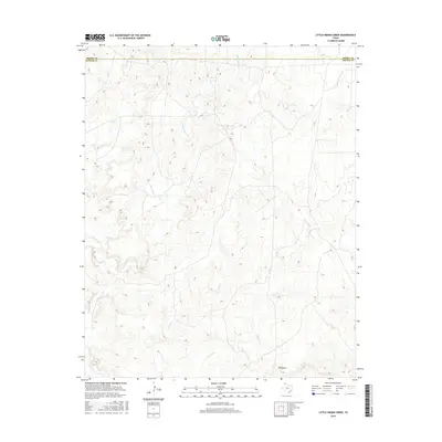
Historical Maps of Amarillo Through Time
96 maps found
1934 Ady
Potter County, TX
1934 Cliffside
Potter County, TX

1936 Ady
Potter County, TX
1936 Cliffside
Potter County, TX

1953 Alibates Ranch
Potter County, TX
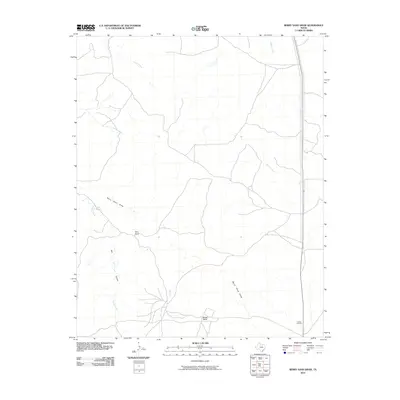
1953 Berry Sand Draw
Potter County, TX
1953 Chunky
Potter County, TX
1953 Cliffside
Potter County, TX
1953 Marsh
Potter County, TX
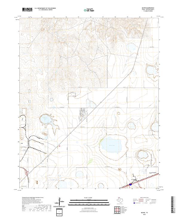
1953 Mayer
Potter County, TX

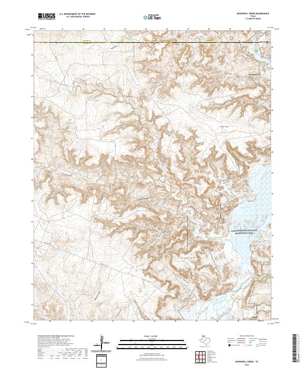
1953 McDowell Creek
Potter County, TX
1953 Pleasant Valley
Potter County, TX
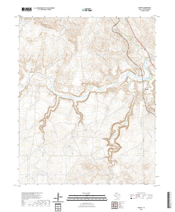
1953 Puente
Potter County, TX
1956 Amarillo East
Potter County, TX
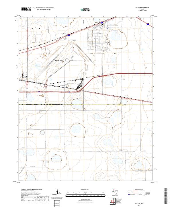
1956 Pullman
Potter County, TX
1960 Amarillo West
Potter County, TX

1966 Boden
Potter County, TX
1966 Wolf Mountain
Potter County, TX

1970 Alibates Ranch
Potter County, TX

1970 McDowell Creek
Potter County, TX

1971 Little Indian Creek
Potter County, TX
2010 Alibates Ranch
Potter County, TX
2010 Amarillo East
Potter County, TX
2010 Amarillo West
Potter County, TX
2010 Berry Sand Draw
Potter County, TX

2010 Boden
Potter County, TX
2010 Chunky
Potter County, TX

2010 Cliffside
Potter County, TX
2010 Little Indian Creek
Potter County, TX
2010 Marsh
Potter County, TX
2010 Mayer
Potter County, TX
2010 McDowell Creek
Potter County, TX

2010 Pleasant Valley
Potter County, TX
2010 Puente
Potter County, TX
2010 Pullman
Potter County, TX
2010 Wolf Mountain
Potter County, TX
2012 Alibates Ranch
Potter County, TX
2012 Amarillo East
Potter County, TX
2012 Amarillo West
Potter County, TX

2012 Boden
Potter County, TX
2012 Chunky
Potter County, TX
2012 Cliffside
Potter County, TX
2012 Little Indian Creek
Potter County, TX
2012 Marsh
Potter County, TX

2012 Mayer
Potter County, TX
2012 McDowell Creek
Potter County, TX

2012 Pleasant Valley
Potter County, TX
2012 Puente
Potter County, TX
2012 Pullman
Potter County, TX
2012 Wolf Mountain
Potter County, TX
2013 Berry Sand Draw
Potter County, TX
2016 Alibates Ranch
Potter County, TX
2016 Amarillo East
Potter County, TX
2016 Amarillo West
Potter County, TX
2016 Berry Sand Draw
Potter County, TX

2016 Boden
Potter County, TX
2016 Chunky
Potter County, TX
2016 Cliffside
Potter County, TX
2016 Little Indian Creek
Potter County, TX
2016 Marsh
Potter County, TX
2016 Mayer
Potter County, TX
2016 McDowell Creek
Potter County, TX

2016 Pleasant Valley
Potter County, TX

2016 Puente
Potter County, TX
2016 Pullman
Potter County, TX

2016 Wolf Mountain
Potter County, TX
2019 Alibates Ranch
Potter County, TX
2019 Amarillo East
Potter County, TX
2019 Amarillo West
Potter County, TX
2019 Berry Sand Draw
Potter County, TX

2019 Boden
Potter County, TX
2019 Chunky
Potter County, TX
2019 Cliffside
Potter County, TX
2019 Little Indian Creek
Potter County, TX
2019 Marsh
Potter County, TX
2019 Mayer
Potter County, TX
2019 McDowell Creek
Potter County, TX
2019 Pleasant Valley
Potter County, TX
2019 Puente
Potter County, TX
2019 Pullman
Potter County, TX
2019 Wolf Mountain
Potter County, TX
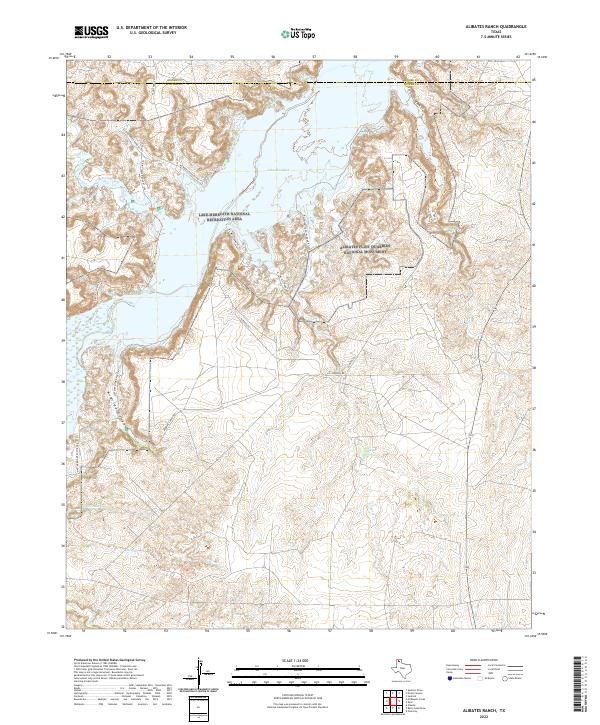
2022 Alibates Ranch
Potter County, TX
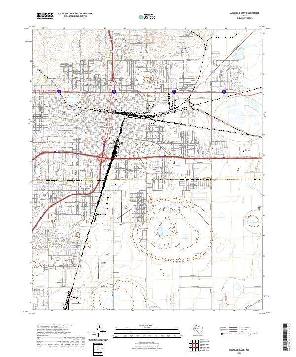
2022 Amarillo East
Potter County, TX
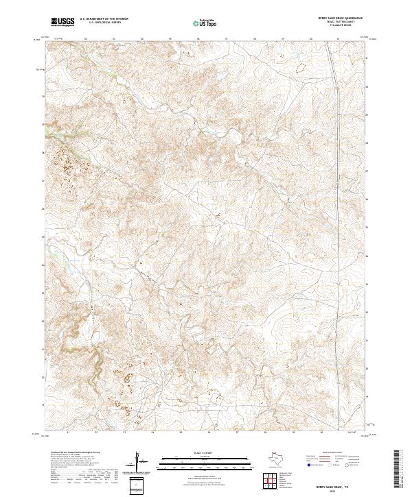
2022 Berry Sand Draw
Potter County, TX

2022 Boden
Potter County, TX
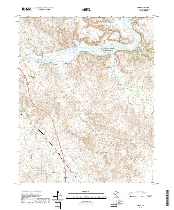
2022 Chunky
Potter County, TX

2022 Cliffside
Potter County, TX
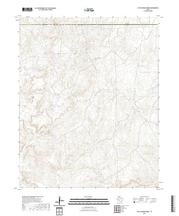
2022 Little Indian Creek
Potter County, TX
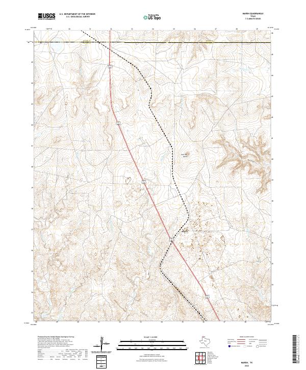
2022 Marsh
Potter County, TX
2022 Mayer
Potter County, TX
2022 McDowell Creek
Potter County, TX

2022 Pleasant Valley
Potter County, TX
2022 Puente
Potter County, TX
2022 Pullman
Potter County, TX
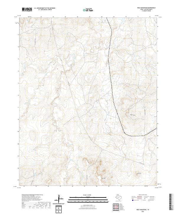
2022 Wolf Mountain
Potter County, TX
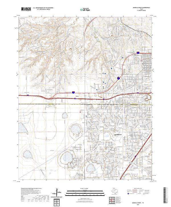
2023 Amarillo West
Potter County, TX