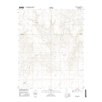
2017 Map of Beenham SW
USGS Topo · Published 2017About this map
The high plains of Northeast New Mexico meet at the border of Union Co Harding Co, revealing a landscape defined by seasonal watercourses and a sparse network of ranch roads. The southern portion is marked by the distinctive elevation of Cerrito de los Muertos, a prominent landmark in an area otherwise characterized by the winding paths of Church Cr and Ventanas Cr. This 2017 study illustrates the enduring rural nature of the region, where transportation is reliant on gravel and dirt routes such as Pasamonte Rd and Gallagher Rd. The map provides a clear look at the Public Land Survey System divisions, showing the townships and ranges that have governed land ownership here since the late nineteenth century.
Find a feature on this map
19 named features on this map. Tap any name to fly to it.
Don’t see what you’re looking for? This feature index may not catch every label — zoom into the map to look around manually.
Map Details
Editions of this 2017 Beenham SW Map
This is the sole edition of this map. No revisions or reprints were ever made.
Other maps of this area

1954 · Tucumcari
USGS Topo · 1:250,000

1954 · Dalhart
USGS Topo · 1:250,000

1958 · Tucumcari
USGS Topo · 1:250,000

1958 · Dalhart
USGS Topo · 1:250,000

1962 · Dalhart
USGS Topo · 1:250,000

1973 · Bueyeros NE
USGS Topo · 1:24,000

1973 · Yates SE
USGS Topo · 1:24,000

1973 · Garcia Creek
USGS Topo · 1:24,000

1973 · Beenham
USGS Topo · 1:24,000
1973 · Minnie Butte
USGS Topo · 1:24,000