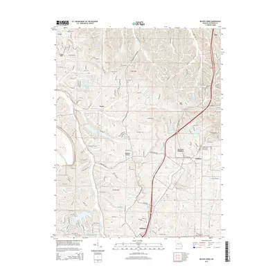
2015 Map of Belews Creek
USGS Topo · Published 2015About this map
Hillsboro serves as a primary hub in this Jefferson County landscape, where the northern reaches of the Jefferson Coll campus meet the residential expansion of the early 21st century. The topography is defined by the winding course of Belews Creek and the broader valley of Sandy Creek, which shape the placement of historic settlements like Goldman, Regina, and Otto. This survey captures a transition toward recreational and suburban water features, most notably the residential clustering around Lake Tishomingo and Lake Lorraine.
Find a feature on this map
140 named features on this map. Tap any name to fly to it.
Don’t see what you’re looking for? This feature index may not catch every label — zoom into the map to look around manually.
Map Details
Editions of this 2015 Belews Creek Map
This is the sole edition of this map. No revisions or reprints were ever made.
Other maps of this area

1901 · De Soto
USGS Topo · 1:125,000

1912 · Kimmswick
USGS Topo · 1:62,500

1915 · Crystal City
USGS Topo · 1:62,500

1916 · Kimmswick
USGS Topo · 1:62,500

1930 · De Soto NE
USGS Topo · 1:24,000

1930 · Pacific SE
USGS Topo · 1:24,000

1931 · Pacific NE
USGS Topo · 1:24,000

1937 · Pacific
USGS Topo · 1:24,000

1937 · Fletcher
USGS Topo · 1:24,000

1938 · Cedar Hill
USGS Topo · 1:24,000