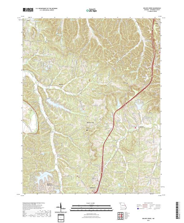
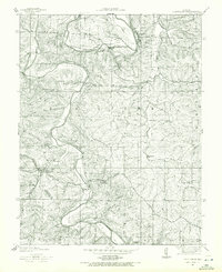
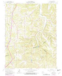
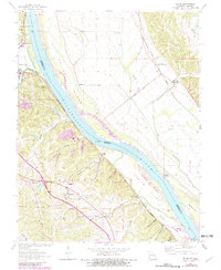
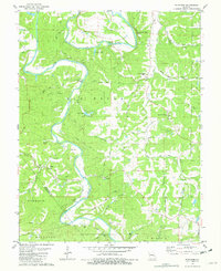
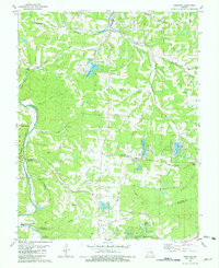
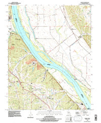
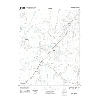
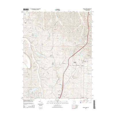
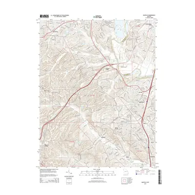
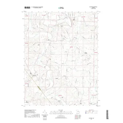
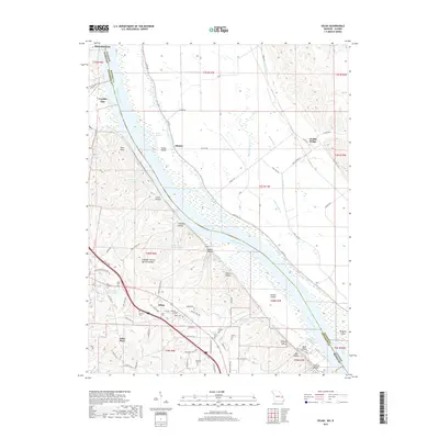
2021 Map of Belews Creek
USGS Topo · Published 2021About this map
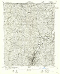
Hillsboro serves as a focal point in this Jefferson County landscape, situated near the southern edge of a region defined by complex creek systems and modern residential enclaves. The map detail highlights the development of Raintree Plantation and the extensive waters of Lake Tishomingo, illustrating the shift toward planned communities and recreational water bodies. Higher elevations are marked by landmarks like Hunters Ridge and Gods Mountain Dr, while the lower valleys follow the winding courses of Belews Creek and Sandy Cr.
Find a feature on this map
113 named features on this map. Tap any name to fly to it.
Don’t see what you’re looking for? This feature index may not catch every label — zoom into the map to look around manually.
Map Details
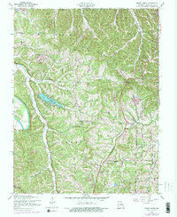
Editions of this 2021 Belews Creek Map
This is the sole edition of this map. No revisions or reprints were ever made.
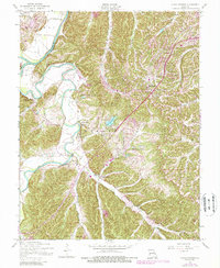
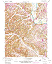
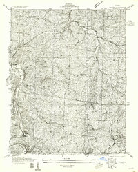
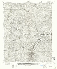
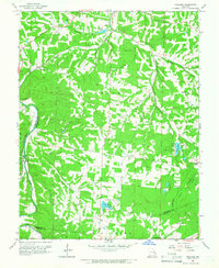
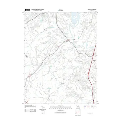
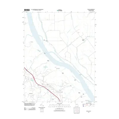
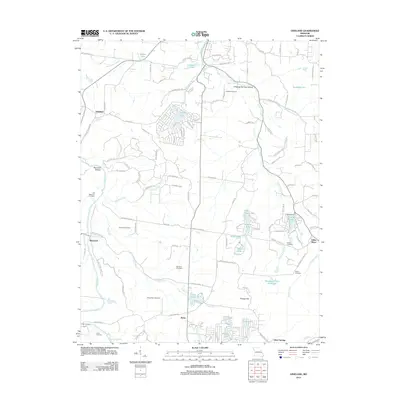
Historical Maps of Hillsboro Through Time
46 maps found

1930 De Soto NE
Jefferson County, MO
1930 Pacific SE
Jefferson County, MO
1931 De Soto SE
Jefferson County, MO
1931 Pacific NE
Jefferson County, MO
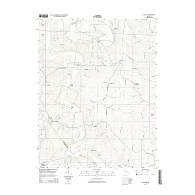
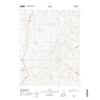
1937 Fletcher
Jefferson County, MO

1938 Fletcher
Jefferson County, MO
1954 Belew Creek
Jefferson County, MO
1954 House Springs
Jefferson County, MO
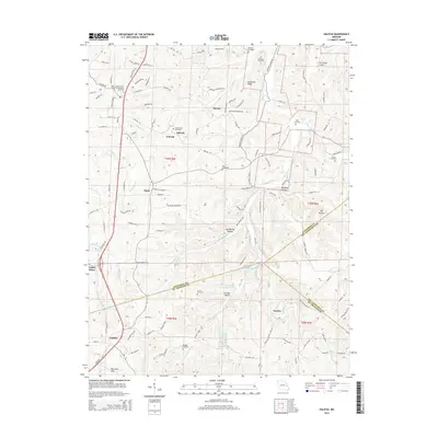
1954 Maxville
Jefferson County, MO
1955 De Soto NE
Jefferson County, MO
1955 De Soto SE
Jefferson County, MO
1958 De Soto NE
Jefferson County, MO
1960 Vineland
Jefferson County, MO
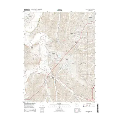
1964 Halifax
Jefferson County, MO
1964 Selma
Jefferson County, MO
1981 Fletcher
Jefferson County, MO
1981 Vineland
Jefferson County, MO
1993 Selma
Jefferson County, MO
2012 Belews Creek
Jefferson County, MO
2012 Fletcher
Jefferson County, MO
2012 Halifax
Jefferson County, MO
2012 House Springs
Jefferson County, MO
2012 Maxville
Jefferson County, MO
2012 Selma
Jefferson County, MO
2012 Vineland
Jefferson County, MO
2015 Belews Creek
Jefferson County, MO
2015 Fletcher
Jefferson County, MO
2015 Halifax
Jefferson County, MO
2015 House Springs
Jefferson County, MO
2015 Maxville
Jefferson County, MO
2015 Selma
Jefferson County, MO
2015 Vineland
Jefferson County, MO
2017 Belews Creek
Jefferson County, MO
2017 Fletcher
Jefferson County, MO
2017 Halifax
Jefferson County, MO
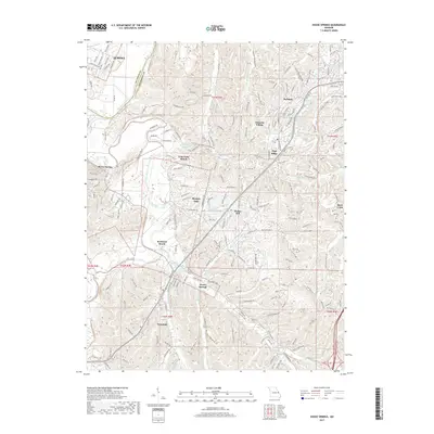
2017 House Springs
Jefferson County, MO
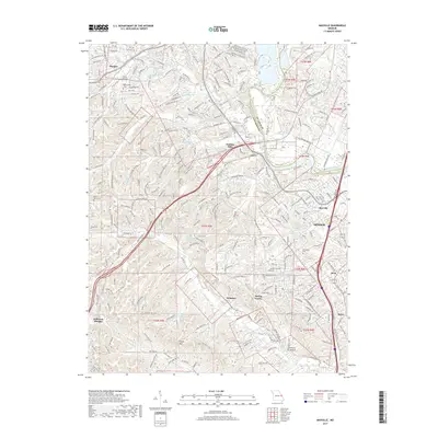
2017 Maxville
Jefferson County, MO
2017 Selma
Jefferson County, MO
2017 Vineland
Jefferson County, MO
2021 Belews Creek
Jefferson County, MO
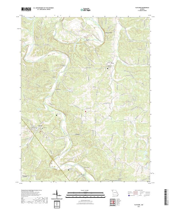
2021 Fletcher
Jefferson County, MO
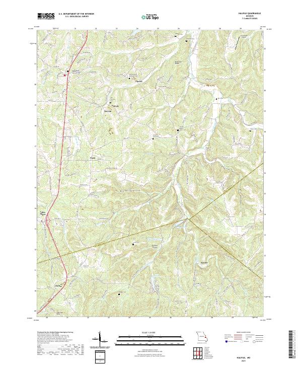
2021 Halifax
Jefferson County, MO
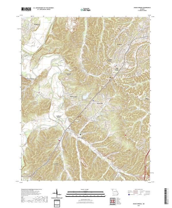
2021 House Springs
Jefferson County, MO
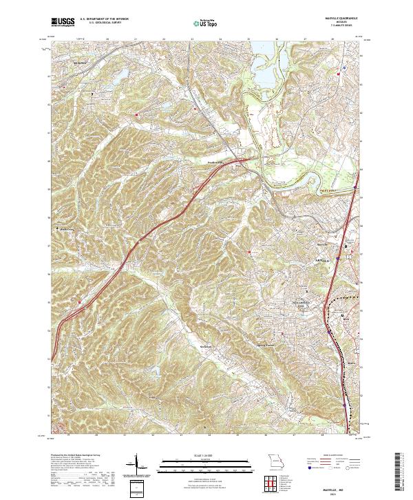
2021 Maxville
Jefferson County, MO
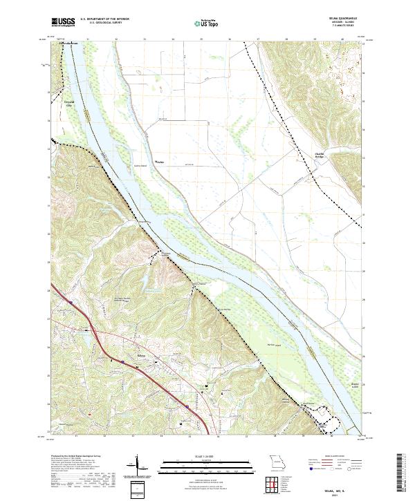
2021 Selma
Jefferson County, MO
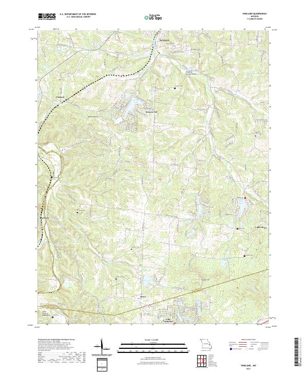
2021 Vineland
Jefferson County, MO
Featured Locations
- Central Township, MO
- High Ridge Township, MO
- Imperial Township, MO
- Meramec Township, MO
- Hillsboro, Central Township