
1950 Map of Belgrade
USGS Topo · Published 1953About this map
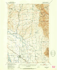
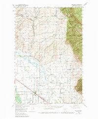
Belgrade and its surrounding agricultural valley appear here during a period of significant mid-century transition. The landscape is defined by the converging lines of the Chicago Milwaukee St Paul and Pacific RR and the Northern Pacific RR, which supported the region's ranching and grain economy. Local genealogy is well-preserved through numerous rural landmarks, including the Dry Creek Church, Springhill School, and family-named sites like the Mc Crea Ranch. To the east, the terrain rises sharply into the Bridger Range and the timbered slopes of the Gallatin National Forest. The presence of the Gallatin Airfield and a Radio Range Station near the base line reflects the area's growing importance in postwar regional aviation. Along the East Gallatin River, smaller settlements like Menard Wye and Springhill remain connected by a network of ditches and creeks that irrigate the valley floor.
Find a feature on this map
80 named features on this map. Tap any name to fly to it.
Don’t see what you’re looking for? This feature index may not catch every label — zoom into the map to look around manually.
Map Details
Editions of this 1950 Belgrade Map
6 editions found
Other maps of this area

1886 · Fort Logan
USGS Topo · 1:250,000

1886 · Little Belt Mts.
USGS Topo · 1:250,000

1888 · Three Forks
USGS Topo · 1:250,000

1891 · Livingston
USGS Topo · 1:250,000

1893 · Livingston
USGS Topo · 1:250,000

1894 · Three Forks
USGS Topo · 1:250,000

1894 · Little Belt Mts.
USGS Topo · 1:250,000

1895 · Three Forks
USGS Topo · 1:250,000

1897 · Little Belt Mts.
USGS Topo · 1:250,000

1898 · Little Belt Mts.
USGS Topo · 1:250,000