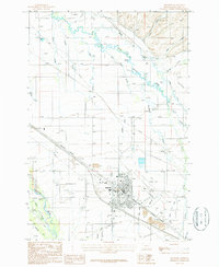
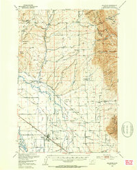
1950 Map of Belgrade
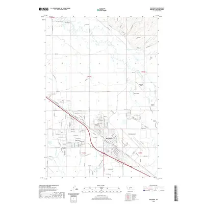
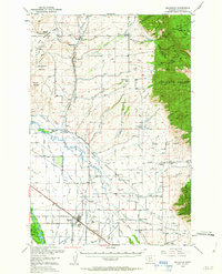
USGS Topo · Published 1985About this map
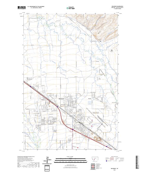
The Bridger Range dominates the eastern horizon of this Gallatin Valley landscape, rising sharply above the fertile plains where the Gallatin River and its myriad irrigation ditches define the local economy. At the hub of two major rail lines, the Chicago Milwaukee St Paul and Pacific and the Northern Pacific, sits the growing town of Belgrade. This mid-century survey captures a network of small agricultural settlements and rural social centers, such as Springhill and Menard, which are supported by local institutions like the Springhill Church and Dry Creek School. The presence of the Gallatin Airfield and a Radio Range Station indicates the area's increasing importance as a regional transportation node. To the north, the terrain becomes more complex near Horseshoe Basin, where smaller ranching outposts like the McRee Ranch sit along the winding Little Horseshoe Creek.
Find a feature on this map
81 named features on this map. Tap any name to fly to it.
Don’t see what you’re looking for? This feature index may not catch every label — zoom into the map to look around manually.
Map Details
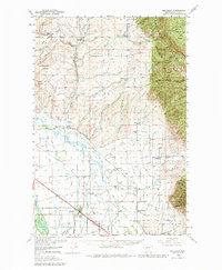
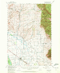
Editions of this 1950 Belgrade Map
6 editions found
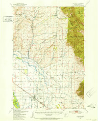
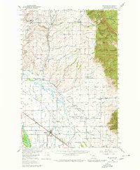
Historical Maps of Belgrade Through Time
7 maps found