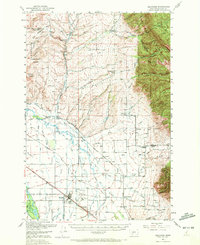
1950 Map of Belgrade
USGS Topo · Published 1972About this map
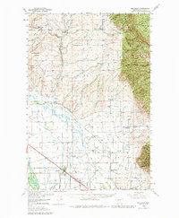
Belgrade serves as the primary hub of this landscape, situated at the intersection of the Northern Pacific RR and the Chicago Milwaukee St Paul and Pacific RR. The map captures a detailed view of the Gallatin Valley's agricultural and social structure at mid-century, where the East Gallatin River and numerous irrigation features like the Smith Ditch supported a network of small settlements and family ranches. This rural density is evident in the frequency of localized institutions, such as the Springhill School, Dry Creek Church, and Reese Creek Cem.
Find a feature on this map
87 named features on this map. Tap any name to fly to it.
Don’t see what you’re looking for? This feature index may not catch every label — zoom into the map to look around manually.
Map Details
Editions of this 1950 Belgrade Map
6 editions found

Other maps of this area

1886 · Fort Logan
USGS Topo · 1:250,000

1886 · Little Belt Mts.
USGS Topo · 1:250,000

1888 · Three Forks
USGS Topo · 1:250,000

1891 · Livingston
USGS Topo · 1:250,000

1893 · Livingston
USGS Topo · 1:250,000

1894 · Three Forks
USGS Topo · 1:250,000

1894 · Little Belt Mts.
USGS Topo · 1:250,000

1895 · Three Forks
USGS Topo · 1:250,000

1897 · Little Belt Mts.
USGS Topo · 1:250,000

1898 · Little Belt Mts.
USGS Topo · 1:250,000