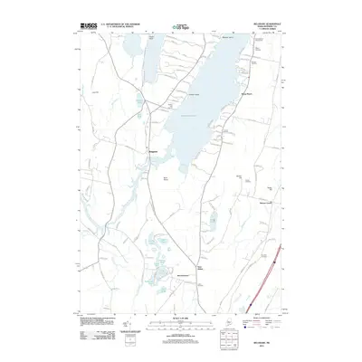
2011 Map of Belgrade
USGS Topo · Published 2011About this map
Messalonskee Lake serves as the geographic heart of this central Maine landscape, its waters reaching from Foster Point in the north down toward the community of Belgrade. The shoreline is a study in recreational and residential development, dotted with landings like Bangs Beach and cultural landmarks such as the New England Music Camp. Further inland, the map documents a network of smaller ponds and wetlands, including the cluster of Penney Pond, Joe Pond, and Lily Bay, which illustrate the glacial hydrology of Kennebec County.
Find a feature on this map
127 named features on this map. Tap any name to fly to it.
Don’t see what you’re looking for? This feature index may not catch every label — zoom into the map to look around manually.
Map Details
Editions of this 2011 Belgrade Map
This is the sole edition of this map. No revisions or reprints were ever made.
Other maps of this area

1892 · Waterville
USGS Topo · 1:62,500

1892 · Augusta
USGS Topo · 1:62,500

1893 · Vassalboro
USGS Topo · 1:62,500

1894 · Norridgewock
USGS Topo · 1:62,500

1898 · Norridgewock
USGS Topo · 1:62,500

1898 · Vassalboro
USGS Topo · 1:62,500

1941 · Vassalboro
USGS Topo · 1:62,500

1941 · Augusta
USGS Topo · 1:62,500

1943 · Augusta
USGS Topo · 1:62,500

1943 · Vassalboro
USGS Topo · 1:62,500