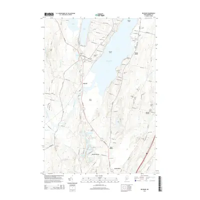
2014 Map of Belgrade
USGS Topo · Published 2014About this map
Messalonskee Lake and Great Pond dominate this landscape, their shorelines dotted with named points and islands like Greeley Island and Birch Island. The settlement of Belgrade serves as a central hub, while smaller communities such as West Sidney, Summerhaven, and Bacons Corner anchor the surrounding countryside. This geography reflects a classic Maine interior pattern where historic village centers and agricultural lands meet significant water bodies that have long supported local recreation and industry.
Find a feature on this map
128 named features on this map. Tap any name to fly to it.
Don’t see what you’re looking for? This feature index may not catch every label — zoom into the map to look around manually.
Map Details
Editions of this 2014 Belgrade Map
This is the sole edition of this map. No revisions or reprints were ever made.
Other maps of this area

1892 · Waterville
USGS Topo · 1:62,500

1892 · Augusta
USGS Topo · 1:62,500

1893 · Vassalboro
USGS Topo · 1:62,500

1894 · Norridgewock
USGS Topo · 1:62,500

1898 · Norridgewock
USGS Topo · 1:62,500

1898 · Vassalboro
USGS Topo · 1:62,500

1941 · Vassalboro
USGS Topo · 1:62,500

1941 · Augusta
USGS Topo · 1:62,500

1943 · Augusta
USGS Topo · 1:62,500

1943 · Vassalboro
USGS Topo · 1:62,500