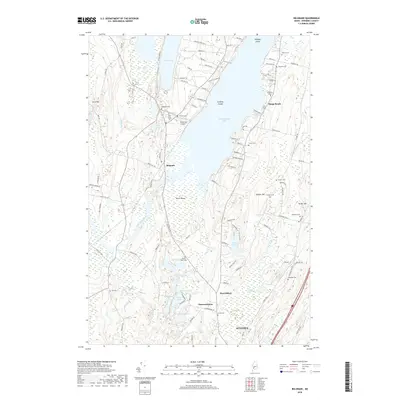
2018 Map of Belgrade
USGS Topo · Published 2018About this map
Messalonskee Lake and Great Pond dominate this landscape north of Augusta, where a network of seasonal roads and small settlements define the Kennebec County interior. The area around Belgrade is characterized by its numerous small water bodies, including Stuart Pond, Joe Pond, and Gould Pond, interspersed with low-lying wetlands like Austin Bog. Local history is preserved in a dense collection of small burial grounds such as Sawtelle Cem, Friends Cem, and Woodside Cem, many located near the shores of the larger lakes.
Find a feature on this map
113 named features on this map. Tap any name to fly to it.
Don’t see what you’re looking for? This feature index may not catch every label — zoom into the map to look around manually.
Map Details
Editions of this 2018 Belgrade Map
This is the sole edition of this map. No revisions or reprints were ever made.
Other maps of this area

1892 · Waterville
USGS Topo · 1:62,500

1892 · Augusta
USGS Topo · 1:62,500

1893 · Vassalboro
USGS Topo · 1:62,500

1894 · Norridgewock
USGS Topo · 1:62,500

1898 · Norridgewock
USGS Topo · 1:62,500

1898 · Vassalboro
USGS Topo · 1:62,500

1941 · Vassalboro
USGS Topo · 1:62,500

1941 · Augusta
USGS Topo · 1:62,500

1943 · Augusta
USGS Topo · 1:62,500

1943 · Vassalboro
USGS Topo · 1:62,500