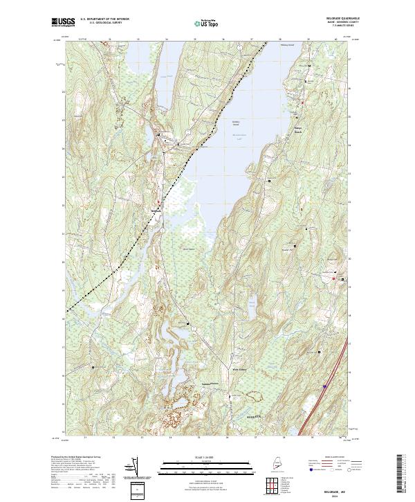
2024 Map of Belgrade
USGS Topo · Published 2024About this map
Belgrade serves as a central hub between the significant waters of Great Pond and Messalonskee Lake, a landscape defined by its complex glacial hydrology. The area is marked by numerous smaller water bodies and wetlands, including Austin Bog, Gould Pond, and Doctors Pond, which feed into the Belgrade Stream system. This environment fostered a unique settlement pattern where roads like Augusta Rd and Pond Rd follow the elevated ridges and lake margins.
Find a feature on this map
113 named features on this map. Tap any name to fly to it.
Don’t see what you’re looking for? This feature index may not catch every label — zoom into the map to look around manually.
Map Details
Editions of this 2024 Belgrade Map
This is the sole edition of this map. No revisions or reprints were ever made.
Other maps of this area

1892 · Waterville
USGS Topo · 1:62,500

1892 · Augusta
USGS Topo · 1:62,500

1893 · Vassalboro
USGS Topo · 1:62,500

1894 · Norridgewock
USGS Topo · 1:62,500

1898 · Norridgewock
USGS Topo · 1:62,500

1898 · Vassalboro
USGS Topo · 1:62,500

1941 · Vassalboro
USGS Topo · 1:62,500

1941 · Augusta
USGS Topo · 1:62,500

1943 · Augusta
USGS Topo · 1:62,500

1943 · Vassalboro
USGS Topo · 1:62,500