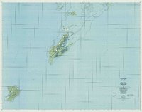
1984 Map of Beliliou
USGS Topo · Published 1984About this map
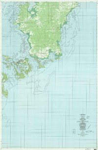
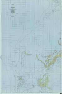
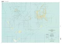
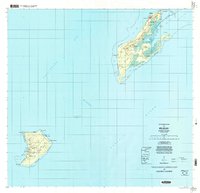
Kloulklubed and the surrounding islands of the Republic of Palau appear here as they were documented in the mid-1980s, following field checks that updated earlier aerial surveys. The landscape is defined by the significant terrain of Bloody Nose Ridge, a landmark of deep historical importance. Settlements like Ngerchol and Ngesual are situated near the coastlines, while an Airfield on Beliliou and another on Ngeaur highlight the islands' strategic infrastructure. The surrounding waters of the Philippine Sea and Pacific Ocean are punctuated by features such as Lukes (Shoal) and the Chelbacheb island group. This survey provides a precise look at the geography of the Caroline Islands during a period of transition, mapping the relationship between small coastal communities and the coral reefs of Ngemlis and Ngercheu.
Find a feature on this map
22 named features on this map. Tap any name to fly to it.
Don’t see what you’re looking for? This feature index may not catch every label — zoom into the map to look around manually.
Map Details
Editions of this 1984 Beliliou Map
This is the sole edition of this map. No revisions or reprints were ever made.