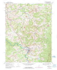
2023 Map of Belington
USGS Topo · Published 2023About this map
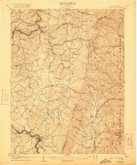
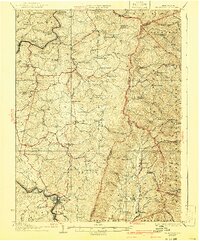
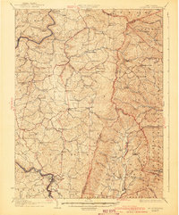
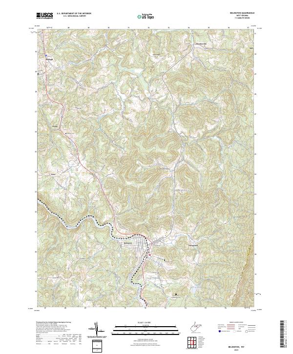
Belington sits at the heart of this Barbour County landscape, where the Tygart Valley River snakes past the western edge of Laurel Mountain. The terrain is defined by its deep drainages, including Bills Creek, Sugar Creek, and the long valley of Mill Creek, which feeds into the Mill Creek Reservoir. This 2023 survey documents a region deeply connected to its Civil War and local heritage, notably through the preservation of the Laurel Hill Confederate Cem and other family burying grounds such as Barbour Cem and Jerusalem Cem.
Find a feature on this map
101 named features on this map. Tap any name to fly to it.
Don’t see what you’re looking for? This feature index may not catch every label — zoom into the map to look around manually.
Map Details
Editions of this 2023 Belington Map
This is the sole edition of this map. No revisions or reprints were ever made.
Historical Maps of Corley Through Time
5 maps found