Loading...
Loading map...2024 Map of Belknap
USGS Topo · Published 2024About this map
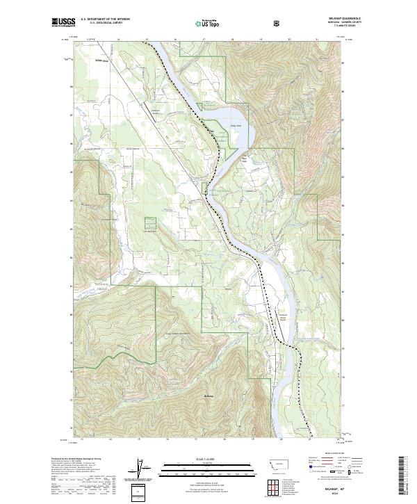
Belknap and White Pine occupy the narrow valley floor where the Clark Fork river cuts through the high country of Sanders County. This 2024 survey captures the interface of the Lolo National Forest and Kaniksu National Forest, dominated by the steep rises of the Coeur d'Alene Mountains and Sievers Ridge. The landscape is defined by the river's path, featuring distinctive geological markers like The Blue Slide and Finley Flats.
Find a feature on this map
65 named features on this map. Tap any name to fly to it.
Don’t see what you’re looking for? This feature index may not catch every label — zoom into the map to look around manually.
Map Details
Date Portrayed2024
Date Published2024
PublisherU.S. Geological Survey
Map TypeTopographic
Scale1:24000
Physical Dimensions24 x 29 inches
Editions of this 2024 Belknap Map
This is the sole edition of this map. No revisions or reprints were ever made.
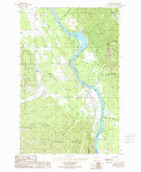
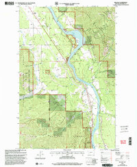
Historical Maps of Talc Through Time
3 maps found
Featured Locations
Source Details
SourceU.S. Geological Survey
CopyrightPublic Domain