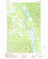
1988 Map of Belknap
USGS Topo · Published 1988About this map
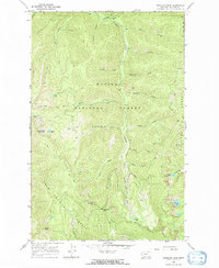
Clark Fork winds through the heart of this terrain, its waters broadening into the Noxon Reservoir near the central Finley Flats. This 1980s provisional survey illustrates the intersection of industrial infrastructure and mountain wilderness in Sanders County. While Transmission Lines and a Radio Tower mark modern developments, the landscape remains defined by significant natural features like Sievers Ridge, Flatiron Ridge, and the high summit of Cougar Peak.
Find a feature on this map
34 named features on this map. Tap any name to fly to it.
Don’t see what you’re looking for? This feature index may not catch every label — zoom into the map to look around manually.
Map Details
Editions of this 1988 Belknap Map
This is the sole edition of this map. No revisions or reprints were ever made.
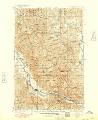
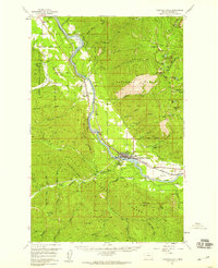
Other maps of this area

1932 · Trout Creek
USGS Topo · 1:125,000

1935 · Trout Creek
USGS Topo · 1:125,000

1936 · Trout Creek
USGS Topo · 1:125,000

1937 · Thompson Falls
USGS Topo · 1:125,000
1937 · Thompson Falls
USGS Topo · 1:62,500
1956 · Cooper Gulch
USGS Topo · 1:62,500

1956 · Wallace
USGS Topo · 1:250,000
1957 · Thompson Falls
USGS Topo · 1:62,500

1960 · Wallace
USGS Topo · 1:250,000
1966 · Vermilion Peak
USGS Topo · 1:24,000