
1956 Map of Wallace
USGS Topo · Published 1966About this map
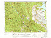
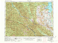
Flathead Indian Reservation and the surrounding wilderness of western Montana and northern Idaho dominate this mid-century landscape. The map illustrates a complex network of resource extraction and hydroelectric development, anchored by the Noxon Rapids Dam on the Clark Fork river. Heavy industrial infrastructure is evident through the path of the Chicago Milwaukee St Paul and Pacific (Elec) railroad and the Northern Pacific line, which provided vital links through the Bitterroot Range. Conservation efforts are well-established, visible in the Montana National Bison Range and the Pablo National Wildlife Refuge. The settlement pattern follows the river valleys and the shores of Flathead Lake, with towns like Polson, St. Ignatius, and Thompson Falls serving as regional hubs amidst the sprawling Lolo National Forest and Kaniksu National Forest.
Find a feature on this map
98 named features on this map. Tap any name to fly to it.
Don’t see what you’re looking for? This feature index may not catch every label — zoom into the map to look around manually.
Map Details
Editions of this 1956 Wallace Map
3 editions found
Other maps of this area

1901 · Coeur D'Alene District
USGS Topo · 1:62,500

1903 · Bonner
USGS Topo · 1:125,000

1903 · Coeur D'Alene District
USGS Topo · 1:62,500

1906 · Coeur D'Alene District
USGS Topo · 1:62,500

1909 · Cataldo
USGS Topo · 1:125,000

1911 · Cataldo
USGS Topo · 1:125,000

1911 · Priest Lake
USGS Topo · 1:250,000

1911 · Lolo
USGS Topo · 1:250,000

1912 · Missoula
USGS Topo · 1:125,000

1913 · Lolo
USGS Topo · 1:250,000