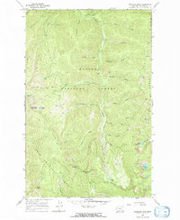
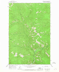
1966 Map of Vermilion Peak
USGS Topo · Published 1970About this map
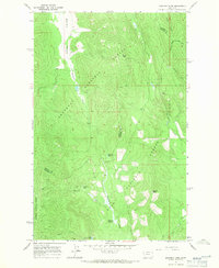
Vermilion River carves through a high-altitude landscape of the Cabinet Mountains in the mid-1960s, marking the boundary between the Kaniksu National Forest and Lolo National Forest. This survey captures a network of pack trails used for forest management and backcountry access before modern road developments reached deep into these drainages. Notable routes like the Pacific Northwest Trail and the Bear Creek Trail (Pack) follow the steep contours of the land, connecting landmarks like Moose Peak and Slide Rock Mountain.
Find a feature on this map
36 named features on this map. Tap any name to fly to it.
Don’t see what you’re looking for? This feature index may not catch every label — zoom into the map to look around manually.
Map Details
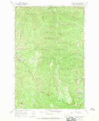
Editions of this 1966 Vermilion Peak Map
2 editions found
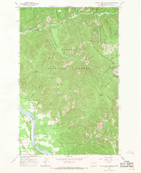
Other maps of this area

1937 · Thompson Falls
USGS Topo · 1:125,000
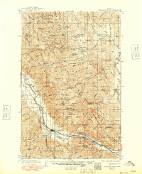
1937 · Thompson Falls
USGS Topo · 1:62,500

1956 · Wallace
USGS Topo · 1:250,000
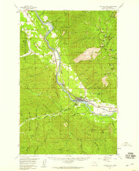
1957 · Thompson Falls
USGS Topo · 1:62,500

1960 · Wallace
USGS Topo · 1:250,000
1964 · Priscilla Peak
USGS Topo · 1:24,000
1966 · Seven Point Mountain
USGS Topo · 1:24,000
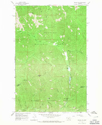
1966 · Miller Lake
USGS Topo · 1:24,000
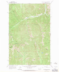
1966 · Silver Butte Pass
USGS Topo · 1:24,000
1966 · Mantrap Fork
USGS Topo · 1:24,000