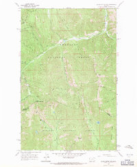
1966 Map of Silver Butte Pass
USGS Topo · Published 1971About this map
Silver Butte Pass serves as a critical geographic divide between the Kootenai National Forest to the north and the Kaniksu National Forest to the south. During the mid-1960s, this portion of the Cabinet Mountains was defined by its mineral extraction and extensive pack trail network. Evidence of prospecting activity is prominent at the Viking Mine and Vermillion Mine, alongside several unnamed Prospect sites.
Find a feature on this map
35 named features on this map. Tap any name to fly to it.
Don’t see what you’re looking for? This feature index may not catch every label — zoom into the map to look around manually.
Map Details
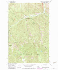
Editions of this 1966 Silver Butte Pass Map
2 editions found
Other maps of this area

1920 · Libby
USGS Topo · 1:125,000

1920 · Jennings
USGS Topo · 1:125,000

1930 · Libby
USGS Topo · 1:125,000

1932 · Libby
USGS Topo · 1:125,000

1932 · Trout Creek
USGS Topo · 1:125,000

1935 · Thompson Lakes
USGS Topo · 1:96,000

1935 · Trout Creek
USGS Topo · 1:125,000

1936 · Trout Creek
USGS Topo · 1:125,000

1937 · Thompson Falls
USGS Topo · 1:125,000

1942 · Thompson Lakes
USGS Topo · 1:125,000