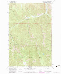
1966 Map of Silver Butte Pass
USGS Topo · Published 1984About this map
Silver Butte Pass serves as a critical geographic divide in this high-altitude corner of the Kootenai National Forest and Kaniksu National Forest. The landscape is defined by the headwaters of the Silver Butte Fisher River and Trapper Creek, where the drainage patterns illustrate a complex network of mountain ridges. Industrial activity in the mid-1960s is evidenced by the presence of the Viking Mine and Vermilion Mine, alongside several sites simply marked as Prospect. Movement through the steep terrain is largely restricted to a primitive infrastructure of trails, such as the Divide Trail (Pack) and Bear Lakes Trail (Pack). Further south, the boundary between Lincoln Co and Sanders Co crosses just north of Elk Mountain, marking a remote transition where alpine waters gather into Elk Lake.
Find a feature on this map
29 named features on this map. Tap any name to fly to it.
Don’t see what you’re looking for? This feature index may not catch every label — zoom into the map to look around manually.
Map Details
Editions of this 1966 Silver Butte Pass Map
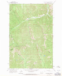
2 editions found
Other maps of this area

1920 · Libby
USGS Topo · 1:125,000

1920 · Jennings
USGS Topo · 1:125,000

1930 · Libby
USGS Topo · 1:125,000

1932 · Libby
USGS Topo · 1:125,000

1932 · Trout Creek
USGS Topo · 1:125,000

1935 · Thompson Lakes
USGS Topo · 1:96,000

1935 · Trout Creek
USGS Topo · 1:125,000

1936 · Trout Creek
USGS Topo · 1:125,000

1937 · Thompson Falls
USGS Topo · 1:125,000

1942 · Thompson Lakes
USGS Topo · 1:125,000