
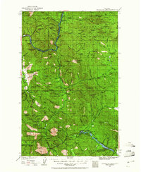
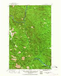
1935 Map of Thompson Lakes
USGS Topo · Published 1935About this map
Warland and Jennings anchor the northern landscape of the Kootenai National Forest in this mid-1930s topographic study. The Great Northern Ry follows the winding path of the Fisher River, illustrating the critical role of rail transport in navigating the timber-rich drainage. A dense network of fire lookouts, including Zonolite Mtn Lookout, Swede Peak Lookout, and Riverview Peak Lookout, crown the peaks, signaling the intense forest management of the era. To the south, scattered rural education centers like the Pleasant Valley Sch and Manicke Sch suggest small, remote communities supported by the Thompson River watershed. The map records a transition from the industrial activity near the railroad to the quiet high-country basins surrounding Island Lake and Lynch Lake.
Find a feature on this map
72 named features on this map. Tap any name to fly to it.
Don’t see what you’re looking for? This feature index may not catch every label — zoom into the map to look around manually.
Map Details
Editions of this 1935 Thompson Lakes Map
3 editions found
Other maps of this area

1913 · Stryker
USGS Topo · 1:125,000

1916 · Stryker
USGS Topo · 1:125,000

1920 · Libby
USGS Topo · 1:125,000

1920 · Jennings
USGS Topo · 1:125,000

1930 · Libby
USGS Topo · 1:125,000

1932 · Libby
USGS Topo · 1:125,000

1932 · Trout Creek
USGS Topo · 1:125,000

1935 · Trout Creek
USGS Topo · 1:125,000

1936 · Trout Creek
USGS Topo · 1:125,000

1937 · Thompson Falls
USGS Topo · 1:125,000