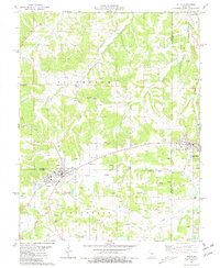
1981 Map of Belle
USGS Topo · Published 1981About this map
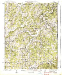
The tri-county region of Maries, Gasconade, and Osage Counties is anchored by the community of Belle in the early 1980s. This survey illustrates a landscape deeply shaped by small-scale resource extraction and rural heritage, visible through the numerous Claypits and kilns that dot the terrain around the settlements. The agricultural and industrial layout is framed by the drainage of Third Creek and its tributaries, such as Little Third Creek and Crider Creek, which carve through the Jefferson township.
Find a feature on this map
39 named features on this map. Tap any name to fly to it.
Don’t see what you’re looking for? This feature index may not catch every label — zoom into the map to look around manually.
Map Details
Editions of this 1981 Belle Map
This is the sole edition of this map. No revisions or reprints were ever made.
Other maps of this area

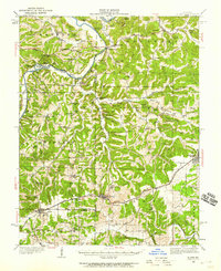
1934 · Linn
USGS Topo · 1:48,000
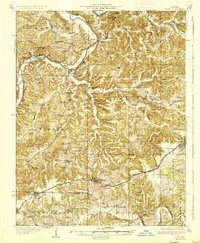
1934 · Bland
USGS Topo · 1:62,500

1934 · Redbird
USGS Topo · 1:62,500
1937 · Bland
USGS Topo · 1:62,500
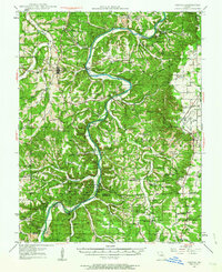
1937 · Vienna
USGS Topo · 1:62,500
1938 · Redbird
USGS Topo · 1:62,500
1938 · Vienna
USGS Topo · 1:48,000
1942 · Linn
USGS Topo · 1:62,500

1945 · Linn
USGS Topo · 1:62,500

1949 · Saint Louis
USGS Topo · 1:250,000