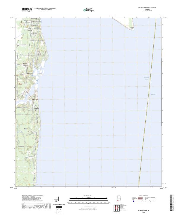
2024 Map of Bellefontaine
USGS Topo · Published 2024About this map
The western shore of Mobile Bay defines the character of this coastal landscape, where residential development and natural waterways meet. Several established communities and landings are situated along the Dauphin Island Pkwy, including Bellefontaine, Mon Louis, and Faustinas. Local history is anchored by the presence of Boudans Cem and Mathis Cem near the northern boundary. The intricate drainage network of Fowl River and its branches, such as East Fowl River, creates a complex system of bayous including Austin Bayou and Whitehouse Bayou.
Find a feature on this map
51 named features on this map. Tap any name to fly to it.
Don’t see what you’re looking for? This feature index may not catch every label — zoom into the map to look around manually.
Map Details
Editions of this 2024 Bellefontaine Map
This is the sole edition of this map. No revisions or reprints were ever made.
Other maps of this area

1921 · Point Clear
USGS Topo · 1:62,500

1921 · Fairhope
USGS Topo · 1:62,500

1921 · Delchamps
USGS Topo · 1:62,500

1922 · Mobile
USGS Topo · 1:62,500

1939 · Daphne
USGS Topo · 1:31,680

1940 · Hollingers Island
USGS Topo · 1:31,680

1940 · Mobile
USGS Topo · 1:62,500

1941 · Daphne
USGS Topo · 1:31,680

1941 · Cedar Point
USGS Topo · 1:62,500

1941 · Weeks Bay
USGS Topo · 1:62,500