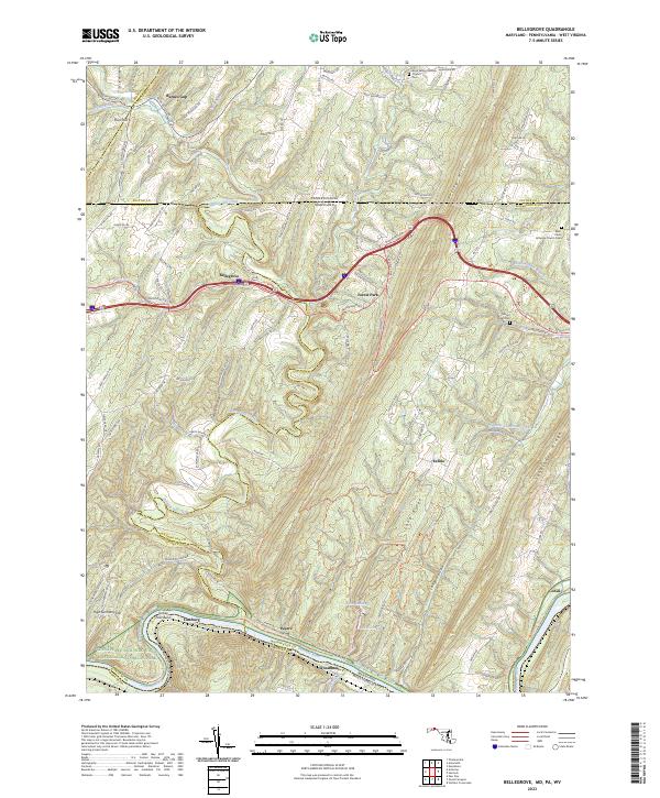
2023 Map of Bellegrove
USGS Topo · Published 2023About this map
The Potomac River forms a winding southern boundary for this region where Maryland meets West Virginia and Pennsylvania. The corridor is defined by the significant footprint of the Chesapeake and Ohio Canal National Historical Park, which mirrors the river's path alongside the Western Maryland Rail Trail. This transport-heavy lowland contrasts with the dramatic ridges of Sideling Hill and Tonoloway Ridge, where the terrain dictates the winding paths of Mountain Rd and National Pike NE.
Find a feature on this map
116 named features on this map. Tap any name to fly to it.
Don’t see what you’re looking for? This feature index may not catch every label — zoom into the map to look around manually.
Map Details
Editions of this 2023 Bellegrove Map
This is the sole edition of this map. No revisions or reprints were ever made.
Other maps of this area

1898 · Paw Paw
USGS Topo · 1:62,500

1899 · Hancock
USGS Topo · 1:62,500

1900 · Pawpaw
USGS Topo · 1:62,500

1901 · Hancock
USGS Topo · 1:62,500

1910 · Paw Paw
USGS Topo · 1:62,500

1925 · Needmore
USGS Topo · 1:48,000

1927 · Clearville
USGS Topo · 1:48,000

1931 · Clearville
USGS Topo · 1:62,500

1935 · Needmore
USGS Topo · 1:62,500

1939 · Needmore
USGS Topo · 1:62,500