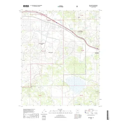
2018 Map of Bellemont
USGS Topo · Published 2018About this map
Bellemont serves as a central point in this Coconino County landscape, situated along the historic path of Old Rte "66" and the modern corridor of Interstate 40. The area is defined by its military and forestry significance, containing portions of Camp Navajo and the Navobsssta Flagstaff station. These installations are bordered by the vast reaches of the Kaibab National Forest to the west and the Coconino National Forest to the east.
Find a feature on this map
53 named features on this map. Tap any name to fly to it.
Don’t see what you’re looking for? This feature index may not catch every label — zoom into the map to look around manually.
Map Details
Editions of this 2018 Bellemont Map
This is the sole edition of this map. No revisions or reprints were ever made.
Other maps of this area

1886 · San Francisco Mtns
USGS Topo · 1:250,000

1891 · San Francisco Mtns
USGS Topo · 1:250,000

1894 · San Francisco Mtns
USGS Topo · 1:250,000

1899 · San Francisco Mtns
USGS Topo · 1:250,000

1908 · Flagstaff
USGS Topo · 1:125,000

1912 · Flagstaff
USGS Topo · 1:125,000

1947 · Flagstaff
USGS Topo · 1:250,000

1954 · Flagstaff
USGS Topo · 1:250,000

1958 · Flagstaff
USGS Topo · 1:250,000

1960 · Flagstaff
USGS Topo · 1:250,000