Loading...
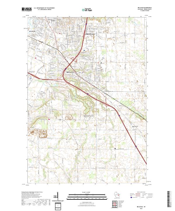
Loading map...2022 Map of Bellevue
USGS Topo · Published 2022About this map
Bellevue and its surrounding Brown County landscape appear in this modern survey, showing the expansion of the Green Bay metropolitan area into former agricultural lands. The terrain is defined by the East River and several tributaries like Bower Cr and Neshota River, which flow through a mix of suburban developments and remaining open spaces. A notable geological landmark, the Fonferek Glen Natural Arch, is situated south of the main village, near the Martins Aerodrome.
Find a feature on this map
177 named features on this map. Tap any name to fly to it.
Don’t see what you’re looking for? This feature index may not catch every label — zoom into the map to look around manually.
Map Details
Date Portrayed2022
Date Published2022
PublisherU.S. Geological Survey
Map TypeTopographic
Scale1:24000
Physical Dimensions24 x 29 inches
Editions of this 2022 Bellevue Map
This is the sole edition of this map. No revisions or reprints were ever made.
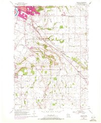
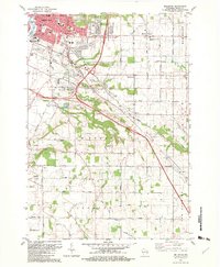
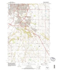
Historical Maps of Allouez Through Time
4 maps found
Featured Locations
Source Details
SourceU.S. Geological Survey
CopyrightPublic Domain