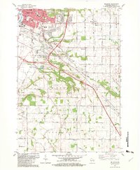
1954 Map of Bellevue
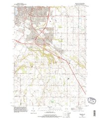
USGS Topo · Published 1972About this map
The Chicago and North Western railroad cuts a sharp diagonal through this landscape, connecting the expanding urban edge of Green Bay and Preble to the outlying agricultural townships. While the northwestern corner shows the encroachment of the city via a Drive-in Theater and Radio Tower (WDUZ), the heart of the map remains defined by small rural hubs and a dense network of country schools. Places like Spring Creek Sch, Wilson Sch, and Elm View Sch are scattered across the terrain, serving the farming communities of Bellevue and Eaton.
Find a feature on this map
40 named features on this map. Tap any name to fly to it.
Don’t see what you’re looking for? This feature index may not catch every label — zoom into the map to look around manually.
Map Details
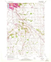
Editions of this 1954 Bellevue Map
This is the sole edition of this map. No revisions or reprints were ever made.
Historical Maps of Green Bay Through Time
4 maps found