
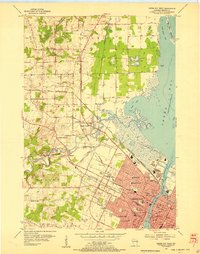
1954 Map of Green Bay
USGS Topo · Published 1980About this map
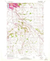
Green Bay and its northern rural fringes are captured in this mid-century survey, showcasing a landscape of established dairy farms and small rail towns. The Fox River serves as the industrial anchor for the city, while the surrounding countryside is dotted with small-scale agricultural hubs like Pulaski and Sobieski. The influence of the Chicago and North Western and the Chicago and Milwaukee St Paul and Pacific railroads is evident, as these lines dictate the placement of local grain elevators and depots.
Find a feature on this map
100 named features on this map. Tap any name to fly to it.
Don’t see what you’re looking for? This feature index may not catch every label — zoom into the map to look around manually.
Map Details
Editions of this 1954 Green Bay Map
This is the sole edition of this map. No revisions or reprints were ever made.
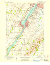
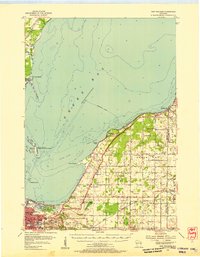
Other maps of this area

1954 · De Pere
USGS Topo · 1:62,500
1954 · Green Bay West
USGS Topo · 1:24,000

1954 · Denmark
USGS Topo · 1:62,500
1954 · De Pere
USGS Topo · 1:24,000
1954 · New Franken
USGS Topo · 1:62,500
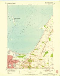
1954 · Green Bay East
USGS Topo · 1:24,000

1954 · Manitowoc
USGS Topo · 1:250,000
1954 · Bellevue
USGS Topo · 1:24,000

1955 · Appleton
USGS Topo · 1:62,500

1955 · Seymour
USGS Topo · 1:62,500