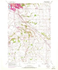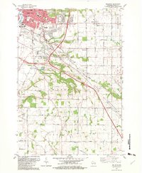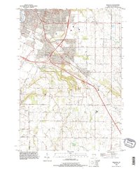
1992 Map of Bellevue
USGS Topo · Published 1996About this map
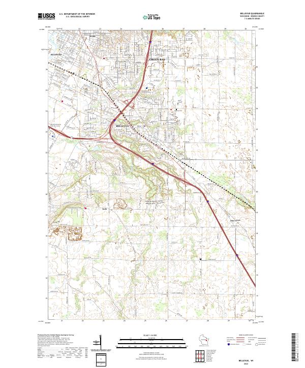
Allouez and the developing outskirts of Green Bay dominate this early 1990s topographic landscape, where suburban expansion meets the established agricultural patterns of Brown County. The survey illustrates a period of significant growth, with dense residential street grids like Fiesta Lane and Elkay Lane transitioning into the open lands of Glenmore. Waterways such as the East River and Bower Creek carve through the terrain, providing natural boundaries for community spaces like East River Park and Josten Park. The presence of a Landing Strip, multiple quarries, and several Communication Towers indicates the diverse industrial and utility infrastructure supporting the region's mid-90s economy. Local history is anchored by the Bellevue Cemetery and the prominent elevation of Scray Hill, which overlooks the intersection of rural routes like Pine Grove Road and Langes Corners Road.
Find a feature on this map
40 named features on this map. Tap any name to fly to it.
Don’t see what you’re looking for? This feature index may not catch every label — zoom into the map to look around manually.
Map Details
Editions of this 1992 Bellevue Map
This is the sole edition of this map. No revisions or reprints were ever made.
Historical Maps of Green Bay Through Time
4 maps found