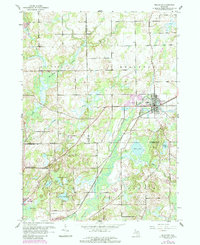
1961 Map of Bellevue
USGS Topo · Published 1985About this map
Battle Creek flows through the northeast, where the village of Bellevue serves as a local hub for industry and transport at the junction of the Grand Trunk Western railroad. This 1961 survey, updated in the 1980s, documents a landscape shaped by both natural water bodies and extraction, with several quarries and a Quarry situated near the village center. The terrain is dotted with small lakes including Wolf Lake, Clear Lake, and Pine Lake, interspersed with rural institutions that anchored the community for generations.
Find a feature on this map
35 named features on this map. Tap any name to fly to it.
Don’t see what you’re looking for? This feature index may not catch every label — zoom into the map to look around manually.
Map Details
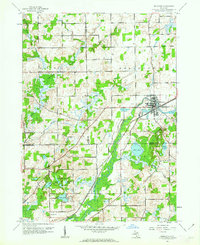
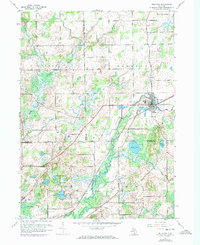
Editions of this 1961 Bellevue Map
3 editions found
Other maps of this area

1918 · Battle Creek
USGS Topo · 1:62,500

1921 · Marshall
USGS Topo · 1:62,500

1923 · Marshall
USGS Topo · 1:62,500

1943 · Battle Creek
USGS Topo · 1:62,500

1943 · Marshall
USGS Topo · 1:62,500

1947 · Bellevue
USGS Topo · 1:24,000

1947 · Bedford
USGS Topo · 1:24,000

1947 · Ceresco
USGS Topo · 1:24,000

1947 · Battle Creek
USGS Topo · 1:24,000

1949 · Charlotte
USGS Topo · 1:62,500
Featured Places
- Bellevue, MI
- Assyria Township, MI
- Pennfield Charter Township, MI
- Bellevue Township, MI
- Convis Township, MI